Bajingzi geodata
Bajingzi (Heilongjiang) is a seat of a fourth-order administrative division; located in China in Asia/Shanghai (GMT+8) time zone. In our database, there are 1268 cities with bigger population. Compared to other cities in China, 95% of cities are located further ↓South; 94.5% of cities are located further ←West and 54.2% of cities have higher elevation than Bajingzi. Note1


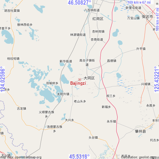
Bajingzi GPS coordinates[2]
46° 1' 19.884" North, 124° 43' 44.688" East
| Map corner | latitude | longitude |
|---|---|---|
| Upper-left | 46.50827°, | 124.02596° |
| Center: | 46.02219°, | 124.72908° |
| Lower-right: | 45.5318°, | 125.43221° |
| Map W x H: | 108.6×108.6 km | = 67.5×67.5mi |
| max Lat: | 53.31946° ⇑5% North |
| Bajingzi: | 46.02219° |
| min Lat: | ⇓95% South 18.22056° |
| min Long | Bajingzi | max Long |
| 75.07348° | 124.72908° | 134.28917° |
| W 94.5%⇐ | ⇒5.5% E |
Elevation
Elevation of Bajingzi is 136 m = 446 ft, and this is 348.8 m = 1144 ft below average elevation for this country.
| Max E: |
5622 m = 18445 ft | 54.2% |
| Avg. | 484.8 m = 1591 ft | |
| Bajingzi | 136 m = 446 ft | |
Min E: |
-3 m = -10 ft | 45.8% |
See also: China elevation on elevation.city.
Geographical zone
Bajingzi is located in North temperate zone (between Tropic of Cancer and the Arctic Circle). Distance of this North polar circle is 2284 km =1419.2 mi to North.| Distance of | km | miles | from Bajingzi |
|---|---|---|---|
| North Pole | 4889.9 | 3038.4 | to North |
| Arctic Circle | 2284 | 1419.2 | to North |
| Tropic Cancer | 2511.3 | 1560.4 | to South |
| Equator | 5117.2 | 3179.7 | to South |


Nearby cities:
15 places around Bajingzi: (largest is in red/bold)
• Anda
61.7 km =38.3 mi,  46°
46°
• Anmin
60.2 km =37.4 mi,  73°
73°
• Changde
25.8 km =16 mi,  59°
59°
• Datong
6.4 km =4 mi,  78°
78°
• Gaotaizi
13.2 km =8.2 mi,  22°
22°
• Honggang
43.8 km =27.2 mi, 15°
• Linyuan
31.8 km =19.8 mi,  357°
357°
• Oroin Xibe
49.7 km =30.9 mi,  312°
312°
• Shengping
46.6 km =29 mi, 62°
• Shuangyushu
16.1 km =10 mi,  323°
323°
• Talin Hiag
47.8 km =29.7 mi,  288°
288°
• Wanbaoshan
55.1 km =34.2 mi,  41°
41°
• Xinglongquan
23.5 km =14.6 mi,  338°
338°
• Xingshugang
35.4 km =22 mi, 20°
• Zhaozhou
59.1 km =36.7 mi,  129°
129°
Sources, notices
• [Note1] Compared only with cities in China existing in our database
• [Src1] Map data: © OpenStreetMap contributors (CC-BY-SA)
• [Src2] Other city data from geonames.org with taken over terms of usage.
• [Src3] Geographical zone / Annual Mean Temperature by Robert A. Rohde @ Wikipedia
