Chunmuying geodata
Chunmuying (Hubei) is a seat of a fourth-order administrative division; located in China in Asia/Shanghai (GMT+8) time zone. In our database, there are 1268 cities with bigger population. Compared to other cities in China, 53.4% of cities are located further ↑North; 72.2% of cities are located further →East and 92.7% of cities have lower elevation than Chunmuying. Note1


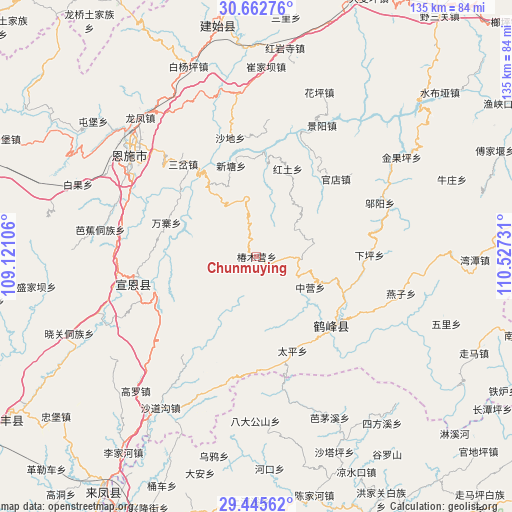
Chunmuying GPS coordinates[2]
30° 3' 21.816" North, 109° 49' 27.048" East
| Map corner | latitude | longitude |
|---|---|---|
| Upper-left | 30.66276°, | 109.12106° |
| Center: | 30.05606°, | 109.82418° |
| Lower-right: | 29.44562°, | 110.52731° |
| Map W x H: | 135.3×135.3 km | = 84.1×84.1mi |
| max Lat: | 53.31946° ⇑53.4% North |
| Chunmuying: | 30.05606° |
| min Lat: | ⇓46.6% South 18.22056° |
| min Long | Chunmuying | max Long |
| 75.07348° | 109.82418° | 134.28917° |
| W 27.8%⇐ | ⇒72.2% E |
Elevation
Elevation of Chunmuying is 1672 m = 5486 ft, and this is 1187.2 m = 3895 ft above average elevation for this country.
| Max E: |
5622 m = 18445 ft | 7.3% |
| Chunmuying | 1672 m 5486 ft | |
| Avg. | 484.8 m = 1591 ft | |
Min E: |
-3 m = -10 ft | 92.7% |
See also: China elevation on elevation.city.
Geographical zone
Chunmuying is located in North temperate zone (between Tropic of Cancer and the Arctic Circle). Distance of this Northern Tropic circle is 736 km =457.3 mi to South.| Distance of | km | miles | from Chunmuying |
|---|---|---|---|
| North Pole | 6665.1 | 4141.5 | to North |
| Arctic Circle | 4059.3 | 2522.3 | to North |
| Tropic Cancer | 736 | 457.3 | to South |
| Equator | 3341.9 | 2076.6 | to South |


Nearby cities:
15 places around Chunmuying: (largest is in red/bold)
• Guandian
29.4 km =18.3 mi,  45°
45°
• Hongtu
24.4 km =15.2 mi,  18°
18°
• Jiaoyuan
37 km =23 mi,  263°
263°
• Jingyang
38.7 km =24 mi,  26°
26°
• Nuoxizhi
31.1 km =19.3 mi,  322°
322°
• Rongmei
26.6 km =16.5 mi,  132°
132°
• Sancha
31.3 km =19.4 mi, 321°
• Shadi
32.1 km =19.9 mi,  347°
347°
• Shangcunba
28.7 km =17.8 mi, 28°
• Taiping
26.7 km =16.6 mi,  159°
159°
• Wanzhai
25.5 km =15.8 mi,  290°
290°
• Wuyang
35.4 km =22 mi,  66°
66°
• Xintang
25.1 km =15.6 mi,  343°
343°
• Zhongying
16.3 km =10.1 mi,  119°
119°
• Zhushan
33.9 km =21.1 mi, 258°
Sources, notices
• [Note1] Compared only with cities in China existing in our database
• [Src1] Map data: © OpenStreetMap contributors (CC-BY-SA)
• [Src2] Other city data from geonames.org with taken over terms of usage.
• [Src3] Geographical zone / Annual Mean Temperature by Robert A. Rohde @ Wikipedia
