Nanyang geodata
Nanyang (Hubei) is a seat of a fourth-order administrative division; located in China in Asia/Shanghai (GMT+8) time zone. In our database, there are 1268 cities with bigger population. Compared to other cities in China, 57.2% of cities are located further ↓South; 68.5% of cities are located further →East and 63.3% of cities have lower elevation than Nanyang. Note1


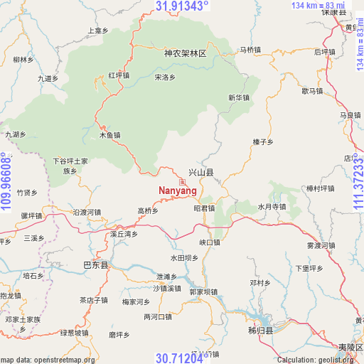
Nanyang GPS coordinates[2]
31° 18' 52.74" North, 110° 40' 9.12" East
| Map corner | latitude | longitude |
|---|---|---|
| Upper-left | 31.91343°, | 109.96608° |
| Center: | 31.31465°, | 110.6692° |
| Lower-right: | 30.71204°, | 111.37233° |
| Map W x H: | 133.6×133.6 km | = 83×83mi |
| max Lat: | 53.31946° ⇑42.8% North |
| Nanyang: | 31.31465° |
| min Lat: | ⇓57.2% South 18.22056° |
| min Long | Nanyang | max Long |
| 75.07348° | 110.6692° | 134.28917° |
| W 31.5%⇐ | ⇒68.5% E |
Elevation
Elevation of Nanyang is 300 m = 984 ft, and this is 184.8 m = 606 ft below average elevation for this country.
| Max E: |
5622 m = 18445 ft | 36.7% |
| Avg. | 484.8 m = 1591 ft | |
| Nanyang | 300 m = 984 ft | |
Min E: |
-3 m = -10 ft | 63.3% |
See also: China elevation on elevation.city.
Geographical zone
Nanyang is located in North temperate zone (between Tropic of Cancer and the Arctic Circle). Distance of this Northern Tropic circle is 875.9 km =544.3 mi to South.| Distance of | km | miles | from Nanyang |
|---|---|---|---|
| North Pole | 6525.2 | 4054.6 | to North |
| Arctic Circle | 3919.3 | 2435.3 | to North |
| Tropic Cancer | 875.9 | 544.3 | to South |
| Equator | 3481.9 | 2163.6 | to South |


Nearby cities:
15 places around Nanyang: (largest is in red/bold)
• Gaoqiao
15.3 km =9.5 mi,  231°
231°
• Gaoyang
12.8 km =8 mi,  136°
136°
• Gufu
7.8 km =4.8 mi,  47°
47°
• Guizhou
35.4 km =22 mi,  176°
176°
• Huangliang
15.9 km =9.9 mi,  110°
110°
• Jianyangping
25.4 km =15.8 mi, 142°
• Muyu
32 km =19.9 mi,  303°
303°
• Shazhenxi
40.1 km =24.9 mi,  189°
189°
• Shuitianba
28.4 km =17.6 mi, 178°
• Shuiyuesi
33.8 km =21 mi,  104°
104°
• Xiakou
24 km =14.9 mi,  154°
154°
• Xietan
34.1 km =21.2 mi, 188°
• Xiqiuwan
28.7 km =17.8 mi, 228°
• Yanduhe
37.3 km =23.2 mi,  254°
254°
• Zhenzi
33.1 km =20.6 mi,  62°
62°
Sources, notices
• [Note1] Compared only with cities in China existing in our database
• [Src1] Map data: © OpenStreetMap contributors (CC-BY-SA)
• [Src2] Other city data from geonames.org with taken over terms of usage.
• [Src3] Geographical zone / Annual Mean Temperature by Robert A. Rohde @ Wikipedia
