Xintian geodata
Xintian (Gansu) is a seat of a fourth-order administrative division; located in China in Asia/Shanghai (GMT+8) time zone. In our database, there are 1268 cities with bigger population. Compared to other cities in China, 81.9% of cities are located further ↓South; 94.1% of cities are located further →East and 95.2% of cities have lower elevation than Xintian. Note1


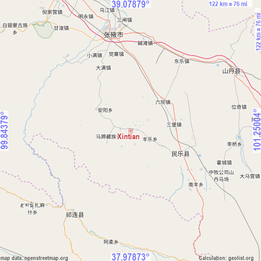
Xintian GPS coordinates[2]
38° 31' 51.096" North, 100° 32' 48.876" East
| Map corner | latitude | longitude |
|---|---|---|
| Upper-left | 39.07879°, | 99.84379° |
| Center: | 38.53086°, | 100.54691° |
| Lower-right: | 37.97873°, | 101.25004° |
| Map W x H: | 122.3×122.3 km | = 76×76mi |
| max Lat: | 53.31946° ⇑18.1% North |
| Xintian: | 38.53086° |
| min Lat: | ⇓81.9% South 18.22056° |
| min Long | Xintian | max Long |
| 75.07348° | 100.54691° | 134.28917° |
| W 5.9%⇐ | ⇒94.1% E |
Elevation
Elevation of Xintian is 2185 m = 7169 ft, and this is 1700.2 m = 5578 ft above average elevation for this country.
| Max E: |
5622 m = 18445 ft | 4.8% |
| Xintian | 2185 m 7169 ft | |
| Avg. | 484.8 m = 1591 ft | |
Min E: |
-3 m = -10 ft | 95.2% |
See also: China elevation on elevation.city.
Geographical zone
Xintian is located in North temperate zone (between Tropic of Cancer and the Arctic Circle). Distance of this Northern Tropic circle is 1678.3 km =1042.8 mi to South.| Distance of | km | miles | from Xintian |
|---|---|---|---|
| North Pole | 5722.8 | 3556 | to North |
| Arctic Circle | 3116.9 | 1936.8 | to North |
| Tropic Cancer | 1678.3 | 1042.8 | to South |
| Equator | 4284.2 | 2662.1 | to South |


Nearby cities:
15 places around Xintian: (largest is in red/bold)
• Daman
34.6 km =21.5 mi,  340°
340°
• Dongle
39.5 km =24.5 mi,  33°
33°
• Hongshui
24.4 km =15.2 mi,  118°
118°
• Huazhai
19.3 km =12 mi,  301°
301°
• Huocheng
46.4 km =28.8 mi,  107°
107°
• Liuba
19.9 km =12.4 mi,  48°
48°
• Longqu
39.8 km =24.7 mi,  326°
326°
• Nanfeng
38 km =23.6 mi,  129°
129°
• Nangu
7.6 km =4.7 mi,  276°
276°
• Qilian
47.2 km =29.3 mi,  214°
214°
• Sanbao
20.3 km =12.6 mi,  81°
81°
• Shunhua
16.1 km =10 mi, 115°
• Xishui
34.1 km =21.2 mi,  290°
290°
• Yonggu
38.9 km =24.2 mi, 115°
• Zhangye
45.6 km =28.3 mi,  349°
349°
Sources, notices
• [Note1] Compared only with cities in China existing in our database
• [Src1] Map data: © OpenStreetMap contributors (CC-BY-SA)
• [Src2] Other city data from geonames.org with taken over terms of usage.
• [Src3] Geographical zone / Annual Mean Temperature by Robert A. Rohde @ Wikipedia
