Guji geodata
Guji (Yunnan) is a seat of a fourth-order administrative division; located in China in Asia/Shanghai (GMT+8) time zone. In our database, there are 1268 cities with bigger population. Compared to other cities in China, 77.9% of cities are located further ↑North; 91.2% of cities are located further →East and 94.6% of cities have lower elevation than Guji. Note1


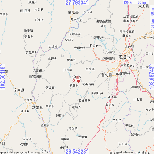
Guji GPS coordinates[2]
27° 10' 10.416" North, 103° 17' 3.48" East
| Map corner | latitude | longitude |
|---|---|---|
| Upper-left | 27.79334°, | 102.58118° |
| Center: | 27.16956°, | 103.2843° |
| Lower-right: | 26.54228°, | 103.98743° |
| Map W x H: | 139.1×139.1 km | = 86.4×86.4mi |
| max Lat: | 53.31946° ⇑77.9% North |
| Guji: | 27.16956° |
| min Lat: | ⇓22.1% South 18.22056° |
| min Long | Guji | max Long |
| 75.07348° | 103.2843° | 134.28917° |
| W 8.8%⇐ | ⇒91.2% E |
Elevation
Elevation of Guji is 1968 m = 6457 ft, and this is 1483.2 m = 4866 ft above average elevation for this country.
| Max E: |
5622 m = 18445 ft | 5.4% |
| Guji | 1968 m 6457 ft | |
| Avg. | 484.8 m = 1591 ft | |
Min E: |
-3 m = -10 ft | 94.6% |
See also: China elevation on elevation.city.
Geographical zone
Guji is located in North temperate zone (between Tropic of Cancer and the Arctic Circle). Distance of this Northern Tropic circle is 415.1 km =257.9 mi to South.| Distance of | km | miles | from Guji |
|---|---|---|---|
| North Pole | 6986.1 | 4341 | to North |
| Arctic Circle | 4380.2 | 2721.7 | to North |
| Tropic Cancer | 415.1 | 257.9 | to South |
| Equator | 3021 | 1877.2 | to South |


Nearby cities:
15 places around Guji: (largest is in red/bold)
• Daliyuan
20.1 km =12.5 mi,  85°
85°
• Jiecun
36.3 km =22.6 mi,  304°
304°
• Jiezi
51.3 km =31.9 mi,  214°
214°
• Laodianzi
26.6 km =16.5 mi,  178°
178°
• Laojiezi
36.9 km =22.9 mi,  203°
203°
• Pengjia Zhaizi
54.4 km =33.8 mi,  26°
26°
• Pisha
53.3 km =33.1 mi,  258°
258°
• Sanguanzhai
7.4 km =4.6 mi, 201°
• Shanjiao
27.3 km =17 mi,  308°
308°
• Shuigou
35.4 km =22 mi,  223°
223°
• Shuigou’ao
8.8 km =5.5 mi,  129°
129°
• Wenping
24.2 km =15 mi,  83°
83°
• Xiangyang
45.6 km =28.3 mi, 183°
• Xinhua
46.8 km =29.1 mi,  228°
228°
• Zhaotong
45.8 km =28.5 mi,  69°
69°
Sources, notices
• [Note1] Compared only with cities in China existing in our database
• [Src1] Map data: © OpenStreetMap contributors (CC-BY-SA)
• [Src2] Other city data from geonames.org with taken over terms of usage.
• [Src3] Geographical zone / Annual Mean Temperature by Robert A. Rohde @ Wikipedia
