Jiecun geodata
Jiecun (Yunnan) is a seat of a fourth-order administrative division; located in China in Asia/Shanghai (GMT+8) time zone. In our database, there are 1268 cities with bigger population. Compared to other cities in China, 77.2% of cities are located further ↑North; 91.5% of cities are located further →East and 89.6% of cities have lower elevation than Jiecun. Note1


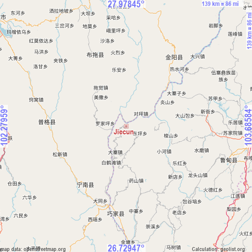
Jiecun GPS coordinates[2]
27° 21' 20.592" North, 102° 58' 57.756" East
| Map corner | latitude | longitude |
|---|---|---|
| Upper-left | 27.97845°, | 102.27959° |
| Center: | 27.35572°, | 102.98271° |
| Lower-right: | 26.72947°, | 103.68584° |
| Map W x H: | 138.9×138.9 km | = 86.3×86.3mi |
| max Lat: | 53.31946° ⇑77.2% North |
| Jiecun: | 27.35572° |
| min Lat: | ⇓22.8% South 18.22056° |
| min Long | Jiecun | max Long |
| 75.07348° | 102.98271° | 134.28917° |
| W 8.5%⇐ | ⇒91.5% E |
Elevation
Elevation of Jiecun is 1329 m = 4360 ft, and this is 844.2 m = 2770 ft above average elevation for this country.
| Max E: |
5622 m = 18445 ft | 10.4% |
| Jiecun | 1329 m 4360 ft | |
| Avg. | 484.8 m = 1591 ft | |
Min E: |
-3 m = -10 ft | 89.6% |
See also: China elevation on elevation.city.
Geographical zone
Jiecun is located in North temperate zone (between Tropic of Cancer and the Arctic Circle). Distance of this Northern Tropic circle is 435.8 km =270.8 mi to South.| Distance of | km | miles | from Jiecun |
|---|---|---|---|
| North Pole | 6965.4 | 4328.1 | to North |
| Arctic Circle | 4359.5 | 2708.9 | to North |
| Tropic Cancer | 435.8 | 270.8 | to South |
| Equator | 3041.7 | 1890 | to South |


Nearby cities:
15 places around Jiecun: (largest is in red/bold)
• Daliyuan
53.3 km =33.1 mi,  111°
111°
• Guji
36.3 km =22.6 mi,  124°
124°
• Laodianzi
56.3 km =35 mi,  147°
147°
• Laojiezi
56.7 km =35.2 mi,  164°
164°
• Pengjia Zhaizi
60.6 km =37.7 mi,  62°
62°
• Pisha
38.7 km =24 mi,  215°
215°
• Puji
43.7 km =27.2 mi,  273°
273°
• Sanguanzhai
38.6 km =24 mi,  135°
135°
• Shanjiao
9.2 km =5.7 mi, 113°
• Shuigou
46.8 km =29.1 mi,  173°
173°
• Shuigou’ao
45.1 km =28 mi,  125°
125°
• Temuli
42.8 km =26.6 mi,  336°
336°
• Tiandiba
46.5 km =28.9 mi,  34°
34°
• Wenping
56.8 km =35.3 mi, 108°
• Xinhua
52.2 km =32.4 mi,  185°
185°
Sources, notices
• [Note1] Compared only with cities in China existing in our database
• [Src1] Map data: © OpenStreetMap contributors (CC-BY-SA)
• [Src2] Other city data from geonames.org with taken over terms of usage.
• [Src3] Geographical zone / Annual Mean Temperature by Robert A. Rohde @ Wikipedia
