Heka geodata
Heka (Qinghai) is a seat of a fourth-order administrative division; located in China in Asia/Shanghai (GMT+8) time zone. In our database, there are 1268 cities with bigger population. Compared to other cities in China, 77% of cities are located further ↓South; 94.6% of cities are located further →East and 97.3% of cities have lower elevation than Heka. Note1


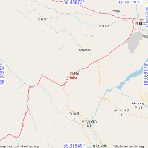
Heka GPS coordinates[2]
35° 53' 28.176" North, 99° 59' 19.14" East
| Map corner | latitude | longitude |
|---|---|---|
| Upper-left | 36.45873°, | 99.28553° |
| Center: | 35.89116°, | 99.98865° |
| Lower-right: | 35.31949°, | 100.69178° |
| Map W x H: | 126.7×126.7 km | = 78.7×78.7mi |
| max Lat: | 53.31946° ⇑23% North |
| Heka: | 35.89116° |
| min Lat: | ⇓77% South 18.22056° |
| min Long | Heka | max Long |
| 75.07348° | 99.98865° | 134.28917° |
| W 5.4%⇐ | ⇒94.6% E |
Elevation
Elevation of Heka is 3259 m = 10692 ft, and this is 2774.2 m = 9102 ft above average elevation for this country.
| Max E: |
5622 m = 18445 ft | 2.7% |
| Heka | 3259 m 10692 ft | |
| Avg. | 484.8 m = 1591 ft | |
Min E: |
-3 m = -10 ft | 97.3% |
See also: China elevation on elevation.city.
Geographical zone
Heka is located in North temperate zone (between Tropic of Cancer and the Arctic Circle). Distance of this Northern Tropic circle is 1384.8 km =860.5 mi to South.| Distance of | km | miles | from Heka |
|---|---|---|---|
| North Pole | 6016.3 | 3738.4 | to North |
| Arctic Circle | 3410.5 | 2119.2 | to North |
| Tropic Cancer | 1384.8 | 860.5 | to South |
| Equator | 3990.7 | 2479.7 | to South |


Nearby cities:
15 places around Heka: (largest is in red/bold)
• Dongke
57.2 km =35.5 mi,  329°
329°
• Gandi
65.6 km =40.8 mi,  30°
30°
• Longcang
68.4 km =42.5 mi,  173°
173°
• Mangqu
76.8 km =47.7 mi,  116°
116°
• Qabqa
70.9 km =44.1 mi,  52°
52°
• Quedantang
61.3 km =38.1 mi, 115°
• Qushi’an
66.6 km =41.4 mi,  160°
160°
• Sangdang
41.2 km =25.6 mi,  177°
177°
• Sazhubxi
51 km =31.7 mi, 31°
• Tangnaihai
43.9 km =27.3 mi, 162°
• Taxiu
52.3 km =32.5 mi,  128°
128°
• Tiegai
71 km =44.1 mi,  62°
62°
• Yingde’er
60.1 km =37.3 mi,  17°
17°
• Zhongtie
73 km =45.4 mi, 169°
• Ziketan
33.9 km =21.1 mi, 180°
Sources, notices
• [Note1] Compared only with cities in China existing in our database
• [Src1] Map data: © OpenStreetMap contributors (CC-BY-SA)
• [Src2] Other city data from geonames.org with taken over terms of usage.
• [Src3] Geographical zone / Annual Mean Temperature by Robert A. Rohde @ Wikipedia
