Yushugou geodata
Yushugou (Xinjiang) is a seat of a fourth-order administrative division; located in China in Asia/Urumqi (GMT+6) time zone. In our database, there are 1268 cities with bigger population. Compared to other cities in China, 92.8% of cities are located further ↓South; 98.2% of cities are located further →East and 77.5% of cities have lower elevation than Yushugou. Note1


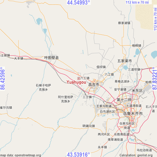
Yushugou GPS coordinates[2]
44° 2' 48.12" North, 87° 7' 44.688" East
| Map corner | latitude | longitude |
|---|---|---|
| Upper-left | 44.54993°, | 86.42596° |
| Center: | 44.0467°, | 87.12908° |
| Lower-right: | 43.53916°, | 87.83221° |
| Map W x H: | 112.4×112.4 km | = 69.8×69.8mi |
| max Lat: | 53.31946° ⇑7.2% North |
| Yushugou: | 44.0467° |
| min Lat: | ⇓92.8% South 18.22056° |
| min Long | Yushugou | max Long |
| 75.07348° | 87.12908° | 134.28917° |
| W 1.8%⇐ | ⇒98.2% E |
Elevation
Elevation of Yushugou is 590 m = 1936 ft, and this is 105.2 m = 345 ft above average elevation for this country.
| Max E: |
5622 m = 18445 ft | 22.5% |
| Yushugou | 590 m 1936 ft | |
| Avg. | 484.8 m = 1591 ft | |
Min E: |
-3 m = -10 ft | 77.5% |
See also: China elevation on elevation.city.
Geographical zone
Yushugou is located in North temperate zone (between Tropic of Cancer and the Arctic Circle). Distance of this Northern Tropic circle is 2291.6 km =1423.9 mi to South.| Distance of | km | miles | from Yushugou |
|---|---|---|---|
| North Pole | 5109.5 | 3174.9 | to North |
| Arctic Circle | 2503.6 | 1555.7 | to North |
| Tropic Cancer | 2291.6 | 1423.9 | to South |
| Equator | 4897.5 | 3043.2 | to South |


Nearby cities:
15 places around Yushugou: (largest is in red/bold)
• Anningqu
33.1 km =20.6 mi,  102°
102°
• Bingchao
20.2 km =12.6 mi,  76°
76°
• Changji
14.7 km =9.1 mi,  107°
107°
• Changshanzi
38.9 km =24.2 mi, 83°
• Daxiqu
13.6 km =8.5 mi,  60°
60°
• Dianba
18.2 km =11.3 mi, 61°
• Diwopu
33.7 km =20.9 mi,  122°
122°
• Erliugong
3.4 km =2.1 mi, 78°
• Ershilidian
18 km =11.2 mi,  313°
313°
• Huoche Xizhan
30.4 km =18.9 mi,  129°
129°
• Khutubi
25.2 km =15.7 mi, 309°
• Liugong
22.1 km =13.7 mi, 81°
• Sandaoba
40.3 km =25 mi, 77°
• Wugongtai
31.1 km =19.3 mi,  301°
301°
• Yangmaogong
38.5 km =23.9 mi,  71°
71°
Sources, notices
• [Note1] Compared only with cities in China existing in our database
• [Src1] Map data: © OpenStreetMap contributors (CC-BY-SA)
• [Src2] Other city data from geonames.org with taken over terms of usage.
• [Src3] Geographical zone / Annual Mean Temperature by Robert A. Rohde @ Wikipedia
