Khutubi geodata
Khutubi (Xinjiang) is a seat of a third-order administrative division; located in China in Asia/Urumqi (GMT+6) time zone. In our database, there are 1268 cities with bigger population. Compared to other cities in China, 93.1% of cities are located further ↓South; 98.2% of cities are located further →East and 75.2% of cities have lower elevation than Khutubi. Note1


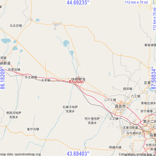
Khutubi GPS coordinates[2]
44° 11' 25.26" North, 86° 53' 6.756" East
| Map corner | latitude | longitude |
|---|---|---|
| Upper-left | 44.69235°, | 86.18209° |
| Center: | 44.19035°, | 86.88521° |
| Lower-right: | 43.68403°, | 87.58834° |
| Map W x H: | 112.1×112.1 km | = 69.7×69.7mi |
| max Lat: | 53.31946° ⇑6.9% North |
| Khutubi: | 44.19035° |
| min Lat: | ⇓93.1% South 18.22056° |
| min Long | Khutubi | max Long |
| 75.07348° | 86.88521° | 134.28917° |
| W 1.8%⇐ | ⇒98.2% E |
Elevation
Elevation of Khutubi is 526 m = 1726 ft, and this is 41.2 m = 135 ft above average elevation for this country.
| Max E: |
5622 m = 18445 ft | 24.8% |
| Khutubi | 526 m 1726 ft | |
| Avg. | 484.8 m = 1591 ft | |
Min E: |
-3 m = -10 ft | 75.2% |
See also: China elevation on elevation.city.
Geographical zone
Khutubi is located in North temperate zone (between Tropic of Cancer and the Arctic Circle). Distance of this Northern Tropic circle is 2307.6 km =1433.9 mi to South.| Distance of | km | miles | from Khutubi |
|---|---|---|---|
| North Pole | 5093.6 | 3165 | to North |
| Arctic Circle | 2487.7 | 1545.8 | to North |
| Tropic Cancer | 2307.6 | 1433.9 | to South |
| Equator | 4913.5 | 3053.1 | to South |


Nearby cities:
15 places around Khutubi: (largest is in red/bold)
• Baojiadian
46.6 km =29 mi,  278°
278°
• Bingchao
40.7 km =25.3 mi,  105°
105°
• Changji
39.2 km =24.4 mi,  121°
121°
• Dafeng
23.5 km =14.6 mi,  267°
267°
• Daxiqu
32.6 km =20.3 mi, 106°
• Dianba
36.2 km =22.5 mi,  101°
101°
• Erliugong
27.4 km =17 mi, 123°
• Ershilidian
7.4 km =4.6 mi, 119°
• Guangdongdi
54.1 km =33.6 mi,  289°
289°
• Huoche Xizhan
55.6 km =34.5 mi,  129°
129°
• Letuyi
34.1 km =21.2 mi, 271°
• Liugong
43.2 km =26.8 mi, 107°
• Manasi
55 km =34.2 mi, 283°
• Wugongtai
7.1 km =4.4 mi, 271°
• Yushugou
25.2 km =15.7 mi, 129°
Sources, notices
• [Note1] Compared only with cities in China existing in our database
• [Src1] Map data: © OpenStreetMap contributors (CC-BY-SA)
• [Src2] Other city data from geonames.org with taken over terms of usage.
• [Src3] Geographical zone / Annual Mean Temperature by Robert A. Rohde @ Wikipedia
