Muta geodata
Muta (Anhui) is a seat of a fourth-order administrative division; located in China in Asia/Shanghai (GMT+8) time zone. In our database, there are 1268 cities with bigger population. Compared to other cities in China, 56.6% of cities are located further ↑North; 66.2% of cities are located further ←West and 57.9% of cities have higher elevation than Muta. Note1


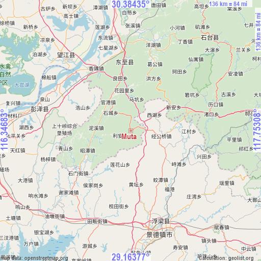
Muta GPS coordinates[2]
29° 46' 33.312" North, 117° 2' 59.82" East
| Map corner | latitude | longitude |
|---|---|---|
| Upper-left | 30.38435°, | 116.34683° |
| Center: | 29.77592°, | 117.04995° |
| Lower-right: | 29.16377°, | 117.75308° |
| Map W x H: | 135.7×135.7 km | = 84.3×84.3mi |
| max Lat: | 53.31946° ⇑56.6% North |
| Muta: | 29.77592° |
| min Lat: | ⇓43.4% South 18.22056° |
| min Long | Muta | max Long |
| 75.07348° | 117.04995° | 134.28917° |
| W 66.2%⇐ | ⇒33.8% E |
Elevation
Elevation of Muta is 112 m = 367 ft, and this is 372.8 m = 1223 ft below average elevation for this country.
| Max E: |
5622 m = 18445 ft | 57.9% |
| Avg. | 484.8 m = 1591 ft | |
| Muta | 112 m = 367 ft | |
Min E: |
-3 m = -10 ft | 42.1% |
See also: China elevation on elevation.city.
Geographical zone
Muta is located in North temperate zone (between Tropic of Cancer and the Arctic Circle). Distance of this Northern Tropic circle is 704.9 km =438 mi to South.| Distance of | km | miles | from Muta |
|---|---|---|---|
| North Pole | 6696.3 | 4160.9 | to North |
| Arctic Circle | 4090.4 | 2541.7 | to North |
| Tropic Cancer | 704.9 | 438 | to South |
| Equator | 3310.8 | 2057.2 | to South |


Nearby cities:
15 places around Muta: (largest is in red/bold)
• Guangang
19.1 km =11.9 mi,  322°
322°
• Haoshan
27.8 km =17.3 mi,  295°
295°
• Huangtan
28.3 km =17.6 mi,  174°
174°
• Huayuanli
21.3 km =13.2 mi,  350°
350°
• Jiangcun
30.2 km =18.8 mi,  90°
90°
• Jiaotan
29.6 km =18.4 mi,  148°
148°
• Jinggongqiao
16.1 km =10 mi,  100°
100°
• Lianhuashan
18.4 km =11.4 mi,  197°
197°
• Lihen
6.1 km =3.8 mi,  246°
246°
• Longquan
27.4 km =17 mi,  236°
236°
• Makeng
16.9 km =10.5 mi,  11°
11°
• Nixi
18 km =11.2 mi,  275°
275°
• Xihu
14.9 km =9.3 mi,  56°
56°
• Xin’an
25.5 km =15.8 mi, 60°
• Zhitan
30.4 km =18.9 mi,  124°
124°
Sources, notices
• [Note1] Compared only with cities in China existing in our database
• [Src1] Map data: © OpenStreetMap contributors (CC-BY-SA)
• [Src2] Other city data from geonames.org with taken over terms of usage.
• [Src3] Geographical zone / Annual Mean Temperature by Robert A. Rohde @ Wikipedia
