Viotá geodata
Viotá (Cundinamarca) is a seat of a second-order administrative division; located in Colombia in America/Bogota (GMT-5) time zone. With population of 5,840 people, there are 460 cities with bigger population in this country. Compared to other cities in Colombia, 72.4% of cities are located further ↑North; 56.5% of cities are located further ←West and 62.9% of cities have higher elevation than Viotá. Note1


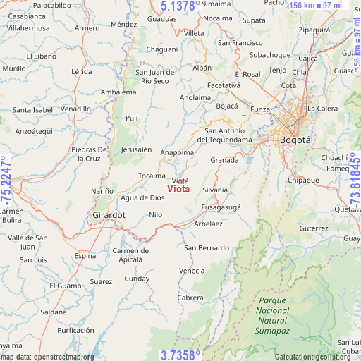
Viotá GPS coordinates[2]
4° 26' 13.668" North, 74° 31' 17.652" West
| Map corner | latitude | longitude |
|---|---|---|
| Upper-left | 5.1378°, | -75.2247° |
| Center: | 4.43713°, | -74.52157° |
| Lower-right: | 3.7358°, | -73.81845° |
| Map W x H: | 155.9×155.9 km | = 96.9×96.9mi |
| max Lat: | 13.38166° ⇑72.4% North |
| Viotá: | 4.43713° |
| min Lat: | ⇓27.6% South -4.21528° |
| min Long | Viotá | max Long |
| -81.70636° | -74.52157° | -67.06996° |
| W 56.5%⇐ | ⇒43.5% E |
Elevation
Elevation of Viotá is 568 m = 1864 ft, and this is 581.3 m = 1907 ft below average elevation for this country.
| Max E: |
3342 m = 10965 ft | 62.9% |
| Avg. | 1149.3 m = 3771 ft | |
| Viotá | 568 m = 1864 ft | |
Min E: |
1 m = 3 ft | 37.1% |
See also: Colombia elevation on elevation.city.
Geographical zone
Viotá is located in North Torrid zone (between Equator and Tropic of Cancer). Distance of Equator is 493.4 km =306.6 mi to South.| Distance of | km | miles | from Viotá |
|---|---|---|---|
| North Pole | 9513.7 | 5911.5 | to North |
| Arctic Circle | 6907.8 | 4292.3 | to North |
| Tropic Cancer | 2112.6 | 1312.7 | to North |
| Equator | 493.4 | 306.6 | to South |


Nearby cities:
15 places around Viotá: (largest is in red/bold)
• Agua de Dios
17.8 km =11.1 mi,  247°
247°
• Anapoima
12.7 km =7.9 mi,  353°
353°
• Apulo
12.1 km =7.5 mi,  319°
319°
• Arbeláez
21.8 km =13.5 mi,  147°
147°
• El Colegio
18.2 km =11.3 mi,  28°
28°
• Fusagasugá
20.8 km =12.9 mi,  122°
122°
• Granada
20.9 km =13 mi,  63°
63°
• Jerusalén
23.8 km =14.8 mi,  306°
306°
• Nilo
18.3 km =11.4 mi,  217°
217°
• Pandi
27.6 km =17.1 mi,  172°
172°
• Pasca
28.4 km =17.6 mi, 120°
• San Antonio del Tequendama
27.4 km =17 mi,  43°
43°
• Silvania
15.4 km =9.6 mi,  103°
103°
• Tibacuy
12.4 km =7.7 mi,  141°
141°
• Tocaima
12.7 km =7.9 mi,  280°
280°
Sources, notices
• [Note1] Compared only with cities in Colombia existing in our database
• [Src1] Map data: © OpenStreetMap contributors (CC-BY-SA)
• [Src2] Other city data from geonames.org with taken over terms of usage.
• [Src3] Geographical zone / Annual Mean Temperature by Robert A. Rohde @ Wikipedia
