Tangua geodata
Tangua (Nariño) is a seat of a second-order administrative division; located in Colombia in America/Bogota (GMT-5) time zone. With population of 3,348 people, there are 654 cities with bigger population in this country. Compared to other cities in Colombia, 97.1% of cities are located further ↑North; 95.5% of cities are located further →East and 86.8% of cities have lower elevation than Tangua. Note1


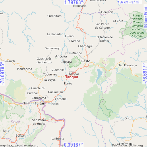
Tangua GPS coordinates[2]
1° 5' 41.028" North, 77° 23' 41.352" West
| Map corner | latitude | longitude |
|---|---|---|
| Upper-left | 1.79763°, | -78.09795° |
| Center: | 1.09473°, | -77.39482° |
| Lower-right: | 0.39167°, | -76.6917° |
| Map W x H: | 156.3×156.3 km | = 97.1×97.1mi |
| max Lat: | 13.38166° ⇑97.1% North |
| Tangua: | 1.09473° |
| min Lat: | ⇓2.9% South -4.21528° |
| min Long | Tangua | max Long |
| -81.70636° | -77.39482° | -67.06996° |
| W 4.5%⇐ | ⇒95.5% E |
Elevation
Elevation of Tangua is 2402 m = 7881 ft, and this is 1252.7 m = 4110 ft above average elevation for this country.
| Max E: |
3342 m = 10965 ft | 13.2% |
| Tangua | 2402 m 7881 ft | |
| Avg. | 1149.3 m = 3771 ft | |
Min E: |
1 m = 3 ft | 86.8% |
See also: Colombia elevation on elevation.city.
Geographical zone
Tangua is located in North Torrid zone (between Equator and Tropic of Cancer). Distance of Equator is 121.7 km =75.6 mi to South.| Distance of | km | miles | from Tangua |
|---|---|---|---|
| North Pole | 9885.3 | 6142.4 | to North |
| Arctic Circle | 7279.5 | 4523.3 | to North |
| Tropic Cancer | 2484.2 | 1543.6 | to North |
| Equator | 121.7 | 75.6 | to South |


Nearby cities:
15 places around Tangua: (largest is in red/bold)
• Ancuya
22.9 km =14.2 mi,  324°
324°
• Consacá
14.8 km =9.2 mi,  328°
328°
• Funes
12.1 km =7.5 mi,  210°
210°
• Guaitarilla
17.5 km =10.9 mi,  283°
283°
• Iles
19.7 km =12.2 mi,  225°
225°
• Imués
12.1 km =7.5 mi,  248°
248°
• La Florida
22.7 km =14.1 mi,  356°
356°
• Nariño
22.1 km =13.7 mi,  10°
10°
• Olaya Herrera
20.1 km =12.5 mi, 327°
• Ospina
19.4 km =12.1 mi,  258°
258°
• Pasto
18.3 km =11.4 mi,  43°
43°
• Puerres
18 km =11.2 mi,  52°
52°
• Sandoná
22.8 km =14.2 mi,  338°
338°
• Túquerres
24.9 km =15.5 mi,  267°
267°
• Yacuanquer
2.5 km =1.6 mi, 341°
Sources, notices
• [Note1] Compared only with cities in Colombia existing in our database
• [Src1] Map data: © OpenStreetMap contributors (CC-BY-SA)
• [Src2] Other city data from geonames.org with taken over terms of usage.
• [Src3] Geographical zone / Annual Mean Temperature by Robert A. Rohde @ Wikipedia
