San Pedro geodata
San Pedro (Sucre) is a seat of a second-order administrative division; located in Colombia in America/Bogota (GMT-5) time zone. With population of 11,489 people, there are 263 cities with bigger population in this country. Compared to other cities in Colombia, 90.6% of cities are located further ↓South; 55.5% of cities are located further →East and 77.7% of cities have higher elevation than San Pedro. Note1


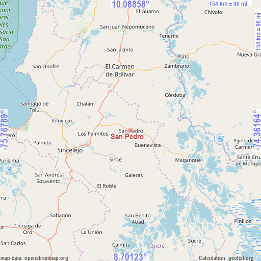
San Pedro GPS coordinates[2]
9° 23' 44.16" North, 75° 3' 53.136" West
| Map corner | latitude | longitude |
|---|---|---|
| Upper-left | 10.08858°, | -75.76789° |
| Center: | 9.3956°, | -75.06476° |
| Lower-right: | 8.70123°, | -74.36164° |
| Map W x H: | 154.3×154.3 km | = 95.9×95.9mi |
| max Lat: | 13.38166° ⇑9.4% North |
| San Pedro: | 9.3956° |
| min Lat: | ⇓90.6% South -4.21528° |
| min Long | San Pedro | max Long |
| -81.70636° | -75.06476° | -67.06996° |
| W 44.5%⇐ | ⇒55.5% E |
Elevation
Elevation of San Pedro is 144 m = 472 ft, and this is 1005.3 m = 3298 ft below average elevation for this country.
| Max E: |
3342 m = 10965 ft | 77.7% |
| Avg. | 1149.3 m = 3771 ft | |
| San Pedro | 144 m = 472 ft | |
Min E: |
1 m = 3 ft | 22.3% |
See also: Colombia elevation on elevation.city.
Geographical zone
San Pedro is located in North Torrid zone (between Equator and Tropic of Cancer). Distance of Equator is 1044.7 km =649.1 mi to South.| Distance of | km | miles | from San Pedro |
|---|---|---|---|
| North Pole | 8962.4 | 5569 | to North |
| Arctic Circle | 6356.5 | 3949.7 | to North |
| Tropic Cancer | 1561.2 | 970.1 | to North |
| Equator | 1044.7 | 649.1 | to South |


Nearby cities:
15 places around San Pedro: (largest is in red/bold)
• Buenavista
13.1 km =8.1 mi,  130°
130°
• Chalán
31.9 km =19.8 mi,  302°
302°
• Colosó
33.5 km =20.8 mi,  289°
289°
• Corozal
26.5 km =16.5 mi,  251°
251°
• Córdoba
33.6 km =20.9 mi,  50°
50°
• El Carmen de Bolívar
36.3 km =22.6 mi,  350°
350°
• El Roble
35.6 km =22.1 mi,  203°
203°
• Galeras
26.2 km =16.3 mi,  175°
175°
• Los Palmitos
22.3 km =13.9 mi,  265°
265°
• Magangué
38.1 km =23.7 mi,  116°
116°
• Morroa
27.3 km =17 mi,  255°
255°
• Ovejas
23.2 km =14.4 mi,  309°
309°
• San Juan de Betulia
23.6 km =14.7 mi,  234°
234°
• San Luis de Sincé
19.1 km =11.9 mi,  208°
208°
• Sincelejo
37.9 km =23.5 mi, 254°
Sources, notices
• [Note1] Compared only with cities in Colombia existing in our database
• [Src1] Map data: © OpenStreetMap contributors (CC-BY-SA)
• [Src2] Other city data from geonames.org with taken over terms of usage.
• [Src3] Geographical zone / Annual Mean Temperature by Robert A. Rohde @ Wikipedia
