Sahagún geodata
Sahagún (Córdoba) is a seat of a second-order administrative division; located in Colombia in America/Bogota (GMT-5) time zone. With population of 59,188 people, there are 65 cities with bigger population in this country. Compared to other cities in Colombia, 86.6% of cities are located further ↓South; 65.1% of cities are located further →East and 83.1% of cities have higher elevation than Sahagún. Note1


Sahagún GPS coordinates[2]
8° 56' 46.212" North, 75° 26' 33.9" West
| Map corner | latitude | longitude |
|---|---|---|
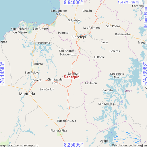
| Upper-left | 9.64006°, | -76.14588° |
| Center: | 8.94617°, | -75.44275° |
| Lower-right: | 8.25095°, | -74.73963° |
| Map W x H: | 154.5×154.5 km | = 96×96mi |
| max Lat: | 13.38166° ⇑13.4% North |
| Sahagún: | 8.94617° |
| min Lat: | ⇓86.6% South -4.21528° |
| min Long | Sahagún | max Long |
| -81.70636° | -75.44275° | -67.06996° |
| W 34.9%⇐ | ⇒65.1% E |
Elevation
Elevation of Sahagún is 84 m = 276 ft, and this is 1065.3 m = 3495 ft below average elevation for this country.
| Max E: |
3342 m = 10965 ft | 83.1% |
| Avg. | 1149.3 m = 3771 ft | |
| Sahagún | 84 m = 276 ft | |
Min E: |
1 m = 3 ft | 16.9% |
See also: Sahagún elevation on elevation.city.
Geographical zone
Sahagún is located in North Torrid zone (between Equator and Tropic of Cancer). Distance of Equator is 994.7 km =618.1 mi to South.| Distance of | km | miles | from Sahagún |
|---|---|---|---|
| North Pole | 9012.3 | 5600 | to North |
| Arctic Circle | 6406.5 | 3980.8 | to North |
| Tropic Cancer | 1611.2 | 1001.2 | to North |
| Equator | 994.7 | 618.1 | to South |


Nearby cities:
15 places around Sahagún: (largest is in red/bold)
• Caimito
39.8 km =24.7 mi,  115°
115°
• Cereté
38.8 km =24.1 mi,  259°
259°
• Chimá
30.4 km =18.9 mi,  317°
317°
• Chinú
18.4 km =11.4 mi,  15°
15°
• Ciénaga de Oro
21.1 km =13.1 mi,  247°
247°
• Cotorra
39.5 km =24.5 mi,  285°
285°
• El Roble
32.2 km =20 mi,  57°
57°
• La Unión
20.9 km =13 mi, 120°
• Momil
41.2 km =25.6 mi, 321°
• Sampués
27.2 km =16.9 mi,  14°
14°
• San Andrés de Sotavento
23.2 km =14.4 mi,  341°
341°
• San Carlos
32.8 km =20.4 mi,  239°
239°
• San Carlos
37.3 km =23.2 mi,  232°
232°
• Sincelejo
40.2 km =25 mi, 7°
• Tuchín
29.4 km =18.3 mi, 335°
Sources, notices
• [Note1] Compared only with cities in Colombia existing in our database
• [Src1] Map data: © OpenStreetMap contributors (CC-BY-SA)
• [Src2] Other city data from geonames.org with taken over terms of usage.
• [Src3] Geographical zone / Annual Mean Temperature by Robert A. Rohde @ Wikipedia
