Milán geodata
Milán (Caquetá) is a seat of a second-order administrative division; located in Colombia in America/Bogota (GMT-5) time zone. With population of 2,618 people, there are 728 cities with bigger population in this country. Compared to other cities in Colombia, 95.2% of cities are located further ↑North; 66.3% of cities are located further →East and 64.8% of cities have higher elevation than Milán. Note1


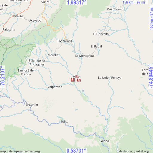
Milán GPS coordinates[2]
1° 17' 25.224" North, 75° 30' 27.252" West
| Map corner | latitude | longitude |
|---|---|---|
| Upper-left | 1.99317°, | -76.2107° |
| Center: | 1.29034°, | -75.50757° |
| Lower-right: | 0.58731°, | -74.80445° |
| Map W x H: | 156.3×156.3 km | = 97.1×97.1mi |
| max Lat: | 13.38166° ⇑95.2% North |
| Milán: | 1.29034° |
| min Lat: | ⇓4.8% South -4.21528° |
| min Long | Milán | max Long |
| -81.70636° | -75.50757° | -67.06996° |
| W 33.7%⇐ | ⇒66.3% E |
Elevation
Elevation of Milán is 443 m = 1453 ft, and this is 706.3 m = 2317 ft below average elevation for this country.
| Max E: |
3342 m = 10965 ft | 64.8% |
| Avg. | 1149.3 m = 3771 ft | |
| Milán | 443 m = 1453 ft | |
Min E: |
1 m = 3 ft | 35.2% |
See also: Colombia elevation on elevation.city.
Geographical zone
Milán is located in North Torrid zone (between Equator and Tropic of Cancer). Distance of Equator is 143.5 km =89.2 mi to South.| Distance of | km | miles | from Milán |
|---|---|---|---|
| North Pole | 9863.6 | 6129 | to North |
| Arctic Circle | 7257.7 | 4509.7 | to North |
| Tropic Cancer | 2462.4 | 1530.1 | to North |
| Equator | 143.5 | 89.2 | to South |


Nearby cities:
15 places around Milán: (largest is in red/bold)
• Acevedo
71.3 km =44.3 mi,  323°
323°
• Albania
41.4 km =25.7 mi,  275°
275°
• Belén de los Andaquíes
43.5 km =27 mi,  289°
289°
• Cartagena del Chairá
74.1 km =46 mi,  86°
86°
• Curillo
53.9 km =33.5 mi,  238°
238°
• El Doncello
49.7 km =30.9 mi,  29°
29°
• El Paujíl
36.9 km =22.9 mi, 32°
• Florencia
37.7 km =23.4 mi,  343°
343°
• La Montañita
22.5 km =14 mi,  20°
20°
• Morelia
32.7 km =20.3 mi,  312°
312°
• Puerto Rico
79 km =49.1 mi, 29°
• San José del Fragua
52.1 km =32.4 mi, 275°
• Solano
71.5 km =44.4 mi,  156°
156°
• Solita
47.8 km =29.7 mi,  195°
195°
• Valparaíso
24.7 km =15.3 mi, 244°
Sources, notices
• [Note1] Compared only with cities in Colombia existing in our database
• [Src1] Map data: © OpenStreetMap contributors (CC-BY-SA)
• [Src2] Other city data from geonames.org with taken over terms of usage.
• [Src3] Geographical zone / Annual Mean Temperature by Robert A. Rohde @ Wikipedia
