López geodata
López (Cauca) is a populated place; located in Colombia in America/Bogota (GMT-5) time zone. With population of 3,699 people, there are 612 cities with bigger population in this country. Compared to other cities in Colombia, 87.7% of cities are located further ↑North; 90.7% of cities are located further →East and 72.7% of cities have lower elevation than López. Note1


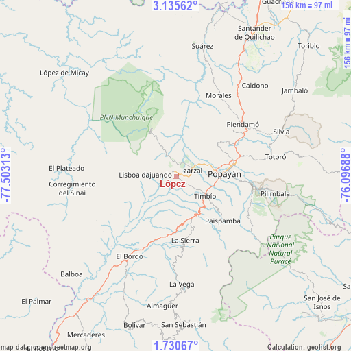
López GPS coordinates[2]
2° 25' 59.988" North, 76° 48' 0" West
| Map corner | latitude | longitude |
|---|---|---|
| Upper-left | 3.13562°, | -77.50313° |
| Center: | 2.43333°, | -76.8° |
| Lower-right: | 1.73067°, | -76.09688° |
| Map W x H: | 156.2×156.2 km | = 97.1×97.1mi |
| max Lat: | 13.38166° ⇑87.7% North |
| López: | 2.43333° |
| min Lat: | ⇓12.3% South -4.21528° |
| min Long | López | max Long |
| -81.70636° | -76.8° | -67.06996° |
| W 9.3%⇐ | ⇒90.7% E |
Elevation
Elevation of López is 1791 m = 5876 ft, and this is 641.7 m = 2105 ft above average elevation for this country.
| Max E: |
3342 m = 10965 ft | 27.3% |
| López | 1791 m 5876 ft | |
| Avg. | 1149.3 m = 3771 ft | |
Min E: |
1 m = 3 ft | 72.7% |
See also: Colombia elevation on elevation.city.
Geographical zone
López is located in North Torrid zone (between Equator and Tropic of Cancer). Distance of Equator is 270.6 km =168.1 mi to South.| Distance of | km | miles | from López |
|---|---|---|---|
| North Pole | 9736.5 | 6050 | to North |
| Arctic Circle | 7130.6 | 4430.7 | to North |
| Tropic Cancer | 2335.4 | 1451.1 | to North |
| Equator | 270.6 | 168.1 | to South |


Nearby cities:
15 places around López: (largest is in red/bold)
• Cajibío
33.1 km =20.6 mi,  50°
50°
• Coconuco
35.3 km =21.9 mi,  106°
106°
• El Bordo
40.6 km =25.2 mi,  209°
209°
• El Tambo
2.4 km =1.5 mi,  331°
331°
• La Sierra
28.7 km =17.8 mi,  171°
171°
• La Vega
48 km =29.8 mi,  177°
177°
• Morales
40.5 km =25.2 mi,  28°
28°
• Paispamba
28.9 km =18 mi,  133°
133°
• Piendamo
37.7 km =23.4 mi, 52°
• Popayán
20.8 km =12.9 mi,  88°
88°
• Rosas
20.3 km =12.6 mi,  160°
160°
• Sucre
46.1 km =28.6 mi,  197°
197°
• Timbío
15.9 km =9.9 mi, 125°
• Totoró
45.1 km =28 mi,  78°
78°
• Villa Rica
10.5 km =6.5 mi, 328°
Sources, notices
• [Note1] Compared only with cities in Colombia existing in our database
• [Src1] Map data: © OpenStreetMap contributors (CC-BY-SA)
• [Src2] Other city data from geonames.org with taken over terms of usage.
• [Src3] Geographical zone / Annual Mean Temperature by Robert A. Rohde @ Wikipedia
