El Peñón geodata
El Peñón (Bolívar) is a seat of a second-order administrative division; located in Colombia in America/Bogota (GMT-5) time zone. With population of 4,204 people, there are 560 cities with bigger population in this country. Compared to other cities in Colombia, 86.9% of cities are located further ↓South; 66% of cities are located further ←West and 92.4% of cities have higher elevation than El Peñón. Note1


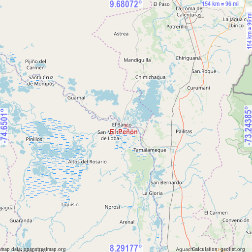
El Peñón GPS coordinates[2]
8° 59' 12.876" North, 73° 56' 49.092" West
| Map corner | latitude | longitude |
|---|---|---|
| Upper-left | 9.68072°, | -74.6501° |
| Center: | 8.98691°, | -73.94697° |
| Lower-right: | 8.29177°, | -73.24385° |
| Map W x H: | 154.4×154.4 km | = 95.9×95.9mi |
| max Lat: | 13.38166° ⇑13.1% North |
| El Peñón: | 8.98691° |
| min Lat: | ⇓86.9% South -4.21528° |
| min Long | El Peñón | max Long |
| -81.70636° | -73.94697° | -67.06996° |
| W 66%⇐ | ⇒34% E |
Elevation
Elevation of El Peñón is 21 m = 69 ft, and this is 1128.3 m = 3702 ft below average elevation for this country.
| Max E: |
3342 m = 10965 ft | 92.4% |
| Avg. | 1149.3 m = 3771 ft | |
| El Peñón | 21 m = 69 ft | |
Min E: |
1 m = 3 ft | 7.6% |
See also: Colombia elevation on elevation.city.
Geographical zone
El Peñón is located in North Torrid zone (between Equator and Tropic of Cancer). Distance of Equator is 999.3 km =620.9 mi to South.| Distance of | km | miles | from El Peñón |
|---|---|---|---|
| North Pole | 9007.8 | 5597.2 | to North |
| Arctic Circle | 6401.9 | 3978 | to North |
| Tropic Cancer | 1606.7 | 998.4 | to North |
| Equator | 999.3 | 620.9 | to South |


Nearby cities:
15 places around El Peñón: (largest is in red/bold)
• Altos del Rosario
32.4 km =20.1 mi,  227°
227°
• Barranco de Loba
18.1 km =11.2 mi,  255°
255°
• Buenavista
47.5 km =29.5 mi,  302°
302°
• Chimichagua
33.6 km =20.9 mi,  26°
26°
• El Banco
3.5 km =2.2 mi, 296°
• Guamal
35 km =21.7 mi, 299°
• Hatillo de Loba
14.8 km =9.2 mi, 256°
• La Gloria
43.9 km =27.3 mi,  158°
158°
• Margarita
39.8 km =24.7 mi, 298°
• Pailitas
35.5 km =22.1 mi,  95°
95°
• Pelaya
45.5 km =28.3 mi,  136°
136°
• Regidor
38.3 km =23.8 mi, 158°
• Río Viejo
46 km =28.6 mi,  165°
165°
• San Martín de Loba
11.7 km =7.3 mi,  240°
240°
• Tamalameque
21.1 km =13.1 mi, 135°
Sources, notices
• [Note1] Compared only with cities in Colombia existing in our database
• [Src1] Map data: © OpenStreetMap contributors (CC-BY-SA)
• [Src2] Other city data from geonames.org with taken over terms of usage.
• [Src3] Geographical zone / Annual Mean Temperature by Robert A. Rohde @ Wikipedia
