Aguadas geodata
Aguadas (Caldas) is a seat of a second-order administrative division; located in Colombia in America/Bogota (GMT-5) time zone. With population of 19,727 people, there are 183 cities with bigger population in this country. Compared to other cities in Colombia, 52.2% of cities are located further ↓South; 65.5% of cities are located further →East and 82.4% of cities have lower elevation than Aguadas. Note1


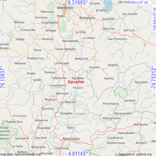
Aguadas GPS coordinates[2]
5° 36' 41.796" North, 75° 27' 22.464" West
| Map corner | latitude | longitude |
|---|---|---|
| Upper-left | 6.31093°, | -76.15937° |
| Center: | 5.61161°, | -75.45624° |
| Lower-right: | 4.91145°, | -74.75312° |
| Map W x H: | 155.6×155.6 km | = 96.7×96.7mi |
| max Lat: | 13.38166° ⇑47.8% North |
| Aguadas: | 5.61161° |
| min Lat: | ⇓52.2% South -4.21528° |
| min Long | Aguadas | max Long |
| -81.70636° | -75.45624° | -67.06996° |
| W 34.5%⇐ | ⇒65.5% E |
Elevation
Elevation of Aguadas is 2146 m = 7041 ft, and this is 996.7 m = 3270 ft above average elevation for this country.
| Max E: |
3342 m = 10965 ft | 17.6% |
| Aguadas | 2146 m 7041 ft | |
| Avg. | 1149.3 m = 3771 ft | |
Min E: |
1 m = 3 ft | 82.4% |
See also: Colombia elevation on elevation.city.
Geographical zone
Aguadas is located in North Torrid zone (between Equator and Tropic of Cancer). Distance of Equator is 624 km =387.7 mi to South.| Distance of | km | miles | from Aguadas |
|---|---|---|---|
| North Pole | 9383.1 | 5830.4 | to North |
| Arctic Circle | 6777.2 | 4211.2 | to North |
| Tropic Cancer | 1982 | 1231.6 | to North |
| Equator | 624 | 387.7 | to South |


Nearby cities:
15 places around Aguadas: (largest is in red/bold)
• Abejorral
20 km =12.4 mi,  9°
9°
• Caramanta
21.9 km =13.6 mi,  251°
251°
• Filadelfia
37 km =23 mi,  198°
198°
• La Merced
25.6 km =15.9 mi, 203°
• La Pintada
22.5 km =14 mi,  312°
312°
• Marmato
22 km =13.7 mi,  226°
226°
• Nariño
30.9 km =19.2 mi,  90°
90°
• Pácora
9.4 km =5.8 mi,  182°
182°
• Riosucio
34.5 km =21.4 mi, 232°
• Salamina
23 km =14.3 mi,  188°
188°
• Santa Bárbara
31.7 km =19.7 mi,  337°
337°
• Sonsón
19.5 km =12.1 mi,  55°
55°
• Supía
27.8 km =17.3 mi, 230°
• Támesis
29.1 km =18.1 mi,  281°
281°
• Valparaíso
18.6 km =11.6 mi,  271°
271°
Sources, notices
• [Note1] Compared only with cities in Colombia existing in our database
• [Src1] Map data: © OpenStreetMap contributors (CC-BY-SA)
• [Src2] Other city data from geonames.org with taken over terms of usage.
• [Src3] Geographical zone / Annual Mean Temperature by Robert A. Rohde @ Wikipedia
