San Rafael geodata
San Rafael (Heredia) is a populated place; located in Costa Rica in America/Costa_Rica (GMT-6) time zone. With population of 8,887 people, there are 57 cities with bigger population in this country. Compared to other cities in Costa Rica, 62.7% of cities are located further ↓South; 53.7% of cities are located further ←West and 82.8% of cities have lower elevation than San Rafael. Note1


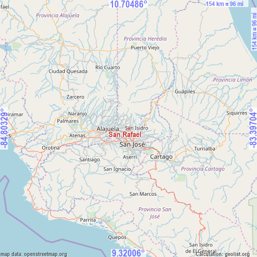
San Rafael GPS coordinates[2]
10° 0' 47.52" North, 84° 6' 0.576" West
| Map corner | latitude | longitude |
|---|---|---|
| Upper-left | 10.70486°, | -84.80329° |
| Center: | 10.0132°, | -84.10016° |
| Lower-right: | 9.32006°, | -83.39704° |
| Map W x H: | 154×154 km | = 95.7×95.7mi |
| max Lat: | 11.07377° ⇑37.3% North |
| San Rafael: | 10.0132° |
| min Lat: | ⇓62.7% South 8.53305° |
| min Long | San Rafael | max Long |
| -85.64748° | -84.10016° | -82.62185° |
| W 53.7%⇐ | ⇒46.3% E |
Elevation
Elevation of San Rafael is 1263 m = 4144 ft, and this is 528 m = 1732 ft above average elevation for this country.
| Max E: |
1844 m = 6050 ft | 17.2% |
| San Rafael | 1263 m 4144 ft | |
| Avg. | 735 m = 2411 ft | |
Min E: |
7 m = 23 ft | 82.8% |
See also: Costa Rica elevation on elevation.city.
Geographical zone
San Rafael is located in North Torrid zone (between Equator and Tropic of Cancer). Distance of Equator is 1113.4 km =691.8 mi to South.| Distance of | km | miles | from San Rafael |
|---|---|---|---|
| North Pole | 8893.7 | 5526.3 | to North |
| Arctic Circle | 6287.8 | 3907.1 | to North |
| Tropic Cancer | 1492.6 | 927.5 | to North |
| Equator | 1113.4 | 691.8 | to South |


Nearby cities:
15 places around San Rafael: (largest is in red/bold)
• Calle Blancos
7.9 km =4.9 mi,  152°
152°
• Colima
7.1 km =4.4 mi,  166°
166°
• Guadalupe
8.7 km =5.4 mi, 146°
• Heredia
2.2 km =1.4 mi,  236°
236°
• La Asunción
8.8 km =5.5 mi, 244°
• Llorente
6.2 km =3.9 mi,  254°
254°
• Mercedes
3.8 km =2.4 mi,  259°
259°
• San Francisco
3.9 km =2.4 mi,  234°
234°
• San Josecito
0.4 km =0.2 mi,  2°
2°
• San Juan
6.3 km =3.9 mi,  161°
161°
• San Pablo
2 km =1.2 mi, 168°
• San Vicente
8.2 km =5.1 mi,  135°
135°
• San Vicente de Moravia
8 km =5 mi, 135°
• Santo Domingo
8.2 km =5.1 mi,  313°
313°
• Ángeles
5.7 km =3.5 mi,  109°
109°
Sources, notices
• [Note1] Compared only with cities in Costa Rica existing in our database
• [Src1] Map data: © OpenStreetMap contributors (CC-BY-SA)
• [Src2] Other city data from geonames.org with taken over terms of usage.
• [Src3] Geographical zone / Annual Mean Temperature by Robert A. Rohde @ Wikipedia
