Aguada de Pasajeros geodata
Aguada de Pasajeros (Cienfuegos) is a populated place; located in Cuba in America/Havana (GMT-4) time zone. With population of 23,606 people, there are 95 cities with bigger population in this country. Compared to other cities in Cuba, 55.2% of cities are located further ↓South; 61.9% of cities are located further →East and 68% of cities have higher elevation than Aguada de Pasajeros. Note1


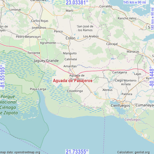
Aguada de Pasajeros GPS coordinates[2]
22° 23' 6.72" North, 80° 50' 52.512" West
| Map corner | latitude | longitude |
|---|---|---|
| Upper-left | 23.03381°, | -81.55105° |
| Center: | 22.3852°, | -80.84792° |
| Lower-right: | 21.73355°, | -80.1448° |
| Map W x H: | 144.6×144.6 km | = 89.9×89.9mi |
| max Lat: | 23.15917° ⇑44.8% North |
| Aguada de Pasajeros: | 22.3852° |
| min Lat: | ⇓55.2% South 19.90553° |
| min Long | Aguada de Pasaj | max Long |
| -84.28599° | -80.84792° | -74.15181° |
| W 38.1%⇐ | ⇒61.9% E |
Elevation
Elevation of Aguada de Pasajeros is 28 m = 92 ft, and this is 40.6 m = 133 ft below average elevation for this country.
| Max E: |
761 m = 2497 ft | 68% |
| Avg. | 68.6 m = 225 ft | |
| Aguada de Pasajeros | 28 m = 92 ft | |
Min E: |
3 m = 10 ft | 32% |
See also: Cuba elevation on elevation.city.
Geographical zone
Aguada de Pasajeros is located in North Torrid zone (between Equator and Tropic of Cancer). Distance of this Northern Tropic circle is 116.9 km =72.6 mi to North.| Distance of | km | miles | from Aguada de Pasajeros |
|---|---|---|---|
| North Pole | 7518.1 | 4671.5 | to North |
| Arctic Circle | 4912.2 | 3052.3 | to North |
| Tropic Cancer | 116.9 | 72.6 | to North |
| Equator | 2489 | 1546.6 | to South |


Nearby cities:
15 places around Aguada de Pasajeros: (largest is in red/bold)
• Abreus
31 km =19.3 mi,  112°
112°
• Calimete
17.8 km =11.1 mi,  338°
338°
• Cienfuegos
48.9 km =30.4 mi,  122°
122°
• Colón
37.8 km =23.5 mi,  351°
351°
• Cruces
59.6 km =37 mi,  94°
94°
• Jagüey Grande
32.9 km =20.4 mi,  298°
298°
• Jovellanos
58.4 km =36.3 mi,  322°
322°
• Lajas
57.1 km =35.5 mi, 86°
• Los Arabos
40.5 km =25.2 mi,  18°
18°
• Manguito
23.5 km =14.6 mi, 343°
• Martí
62.9 km =39.1 mi, 353°
• Palmira
49.6 km =30.8 mi, 108°
• Pedro Betancourt
59.2 km =36.8 mi,  309°
309°
• Perico
46.2 km =28.7 mi, 337°
• Rodas
30.4 km =18.9 mi,  99°
99°
Sources, notices
• [Note1] Compared only with cities in Cuba existing in our database
• [Src1] Map data: © OpenStreetMap contributors (CC-BY-SA)
• [Src2] Other city data from geonames.org with taken over terms of usage.
• [Src3] Geographical zone / Annual Mean Temperature by Robert A. Rohde @ Wikipedia
