Galáta geodata
Galáta (Nicosia) is a populated place; located in Cyprus in Asia/Nicosia (GMT+2) time zone. With population of 679 people, there are 100 cities with bigger population in this country. Compared to other cities in Cyprus, 57.3% of cities are located further ↓South; 72.6% of cities are located further →East and 94% of cities have lower elevation than Galáta. Note1


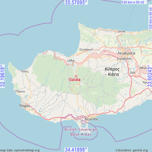
Galáta GPS coordinates[2]
34° 59' 49.164" North, 32° 53' 57.48" East
| Map corner | latitude | longitude |
|---|---|---|
| Upper-left | 35.57095°, | 32.19618° |
| Center: | 34.99699°, | 32.8993° |
| Lower-right: | 34.41898°, | 33.60243° |
| Map W x H: | 128.1×128.1 km | = 79.6×79.6mi |
| max Lat: | 35.59719° ⇑42.7% North |
| Galáta: | 34.99699° |
| min Lat: | ⇓57.3% South 34.66865° |
| min Long | Galáta | max Long |
| 32.38166° | 32.8993° | 34.37916° |
| W 27.4%⇐ | ⇒72.6% E |
Elevation
Elevation of Galáta is 609 m = 1998 ft, and this is 401 m = 1316 ft above average elevation for this country.
| Max E: |
1134 m = 3720 ft | 6% |
| Galáta | 609 m 1998 ft | |
| Avg. | 208 m = 682 ft | |
Min E: |
4 m = 13 ft | 94% |
See also: Cyprus elevation on elevation.city.
Geographical zone
Galáta is located in North temperate zone (between Tropic of Cancer and the Arctic Circle). Distance of this Northern Tropic circle is 1285.4 km =798.7 mi to South.| Distance of | km | miles | from Galáta |
|---|---|---|---|
| North Pole | 6115.8 | 3800.2 | to North |
| Arctic Circle | 3509.9 | 2181 | to North |
| Tropic Cancer | 1285.4 | 798.7 | to South |
| Equator | 3891.3 | 2417.9 | to South |


Nearby cities:
15 places around Galáta: (largest is in red/bold)
• Agrós
14 km =8.7 mi,  129°
129°
• Astromerítis
20.4 km =12.7 mi,  38°
38°
• Evrýchou
4.9 km =3 mi,  3°
3°
• Kakopetriá
1.1 km =0.7 mi,  154°
154°
• Klírou
25.5 km =15.8 mi,  84°
84°
• Korákou
5 km =3.1 mi,  347°
347°
• Kyperoúnta
9.5 km =5.9 mi, 133°
• Léfka
13.6 km =8.5 mi,  340°
340°
• Mitseró
21.1 km =13.1 mi, 76°
• Méniko
25.6 km =15.9 mi,  60°
60°
• Mórfou
24 km =14.9 mi,  20°
20°
• Oroúnta
21.1 km =13.1 mi, 56°
• Peléndri
12.9 km =8 mi, 150°
• Peristeróna
22 km =13.7 mi,  47°
47°
• Potámi
16.8 km =10.4 mi, 44°
Sources, notices
• [Note1] Compared only with cities in Cyprus existing in our database
• [Src1] Map data: © OpenStreetMap contributors (CC-BY-SA)
• [Src2] Other city data from geonames.org with taken over terms of usage.
• [Src3] Geographical zone / Annual Mean Temperature by Robert A. Rohde @ Wikipedia
