Argáka geodata
Argáka (Pafos) is a populated place; located in Cyprus in Asia/Nicosia (GMT+2) time zone. With population of 1,078 people, there are 76 cities with bigger population in this country. Compared to other cities in Cyprus, 78.6% of cities are located further ↓South; 85.5% of cities are located further →East and 56.4% of cities have higher elevation than Argáka. Note1


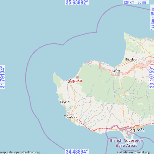
Argáka GPS coordinates[2]
35° 3' 59.256" North, 32° 29' 40.056" East
| Map corner | latitude | longitude |
|---|---|---|
| Upper-left | 35.63992°, | 31.79134° |
| Center: | 35.06646°, | 32.49446° |
| Lower-right: | 34.48894°, | 33.19759° |
| Map W x H: | 128×128 km | = 79.5×79.5mi |
| max Lat: | 35.59719° ⇑21.4% North |
| Argáka: | 35.06646° |
| min Lat: | ⇓78.6% South 34.66865° |
| min Long | Argáka | max Long |
| 32.38166° | 32.49446° | 34.37916° |
| W 14.5%⇐ | ⇒85.5% E |
Elevation
Elevation of Argáka is 96 m = 315 ft, and this is 112 m = 367 ft below average elevation for this country.
| Max E: |
1134 m = 3720 ft | 56.4% |
| Avg. | 208 m = 682 ft | |
| Argáka | 96 m = 315 ft | |
Min E: |
4 m = 13 ft | 43.6% |
See also: Cyprus elevation on elevation.city.
Geographical zone
Argáka is located in North temperate zone (between Tropic of Cancer and the Arctic Circle). Distance of this Northern Tropic circle is 1293.1 km =803.5 mi to South.| Distance of | km | miles | from Argáka |
|---|---|---|---|
| North Pole | 6108 | 3795.3 | to North |
| Arctic Circle | 3502.1 | 2176.1 | to North |
| Tropic Cancer | 1293.1 | 803.5 | to South |
| Equator | 3899 | 2422.7 | to South |


Nearby cities:
15 places around Argáka: (largest is in red/bold)
• Emba
29.6 km =18.4 mi,  192°
192°
• Giólou
15.9 km =9.9 mi, 186°
• Kissonerga
28.4 km =17.6 mi,  197°
197°
• Káto Pýrgos
21.4 km =13.3 mi,  54°
54°
• Lempa
29.7 km =18.5 mi, 195°
• Mesógi
28.1 km =17.5 mi, 187°
• Polémi
20.1 km =12.5 mi,  176°
176°
• Pomós
12.6 km =7.8 mi,  23°
23°
• Páno Panagía
20.6 km =12.8 mi,  142°
142°
• Pégeia
22.8 km =14.2 mi,  206°
206°
• Pólis
7.1 km =4.4 mi,  241°
241°
• Stroumpí
20.5 km =12.7 mi, 183°
• Tsada - Tremithousa - Tala (Borders)
26.1 km =16.2 mi, 188°
• Tsáda
25.5 km =15.8 mi, 183°
• Tála
26.1 km =16.2 mi, 192°
Sources, notices
• [Note1] Compared only with cities in Cyprus existing in our database
• [Src1] Map data: © OpenStreetMap contributors (CC-BY-SA)
• [Src2] Other city data from geonames.org with taken over terms of usage.
• [Src3] Geographical zone / Annual Mean Temperature by Robert A. Rohde @ Wikipedia
