Zehna geodata
Zehna (Mecklenburg-Vorpommern) is a populated place; located in Germany in Europe/Berlin (GMT+2) time zone. With population of 742 people, there are 8140 cities with bigger population in this country. Compared to other cities in Germany, 88.8% of cities are located further ↓South; 83.7% of cities are located further ←West and 73.2% of cities have higher elevation than Zehna. Note1
Administrative division(s):
- Level 1: Mecklenburg-Vorpommern
- Level 3: Landkreis Rostock
- Level 4: Zehna


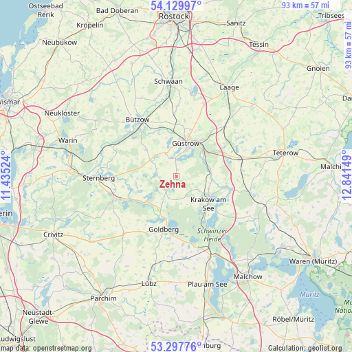
Zehna GPS coordinates[2]
53° 42' 57.312" North, 12° 8' 18.096" East
| Map corner | latitude | longitude |
|---|---|---|
| Upper-left | 54.12997°, | 11.43524° |
| Center: | 53.71592°, | 12.13836° |
| Lower-right: | 53.29776°, | 12.84149° |
| Map W x H: | 92.5×92.5 km | = 57.5×57.5mi |
| max Lat: | 55.01917° ⇑11.2% North |
| Zehna: | 53.71592° |
| min Lat: | ⇓88.8% South 47.40724° |
| min Long | Zehna | max Long |
| 5.92978° | 12.13836° | 14.98853° |
| W 83.7%⇐ | ⇒16.3% E |
Elevation
Elevation of Zehna is 71 m = 233 ft, and this is 178.1 m = 584 ft below average elevation for this country.
| Max E: |
1256 m = 4121 ft | 73.2% |
| Avg. | 249.1 m = 817 ft | |
| Zehna | 71 m = 233 ft | |
Min E: |
-5 m = -16 ft | 26.8% |
See also: Germany elevation on elevation.city.
Geographical zone
Zehna is located in North temperate zone (between Tropic of Cancer and the Arctic Circle). Distance of this North polar circle is 1428.5 km =887.6 mi to North.| Distance of | km | miles | from Zehna |
|---|---|---|---|
| North Pole | 4034.4 | 2506.9 | to North |
| Arctic Circle | 1428.5 | 887.6 | to North |
| Tropic Cancer | 3366.7 | 2092 | to South |
| Equator | 5972.7 | 3711.3 | to South |


Nearby cities:
15 places around Zehna: (largest is in red/bold)
• Borkow
13.7 km =8.5 mi,  244°
244°
• Dobbertin
11.1 km =6.9 mi,  202°
202°
• Gutow
4.9 km =3 mi,  357°
357°
• Gülzow
12.4 km =7.7 mi,  338°
338°
• Güstrow
9.3 km =5.8 mi,  14°
14°
• Hoppenrade
8.9 km =5.5 mi,  81°
81°
• Krakow am See
11.3 km =7 mi,  129°
129°
• Lohmen
4.7 km =2.9 mi,  218°
218°
• Lüdershagen
8.2 km =5.1 mi,  87°
87°
• Lüssow
13.6 km =8.5 mi,  1°
1°
• Mustin
11.1 km =6.9 mi,  258°
258°
• Mühl Rosin
7.3 km =4.5 mi,  42°
42°
• Prüzen
8.1 km =5 mi,  302°
302°
• Reimershagen
5.5 km =3.4 mi,  153°
153°
• Tarnow
10.6 km =6.6 mi,  311°
311°
Sources, notices
• [Note1] Compared only with cities in Germany existing in our database
• [Src1] Map data: © OpenStreetMap contributors (CC-BY-SA)
• [Src2] Other city data from geonames.org with taken over terms of usage.
• [Src3] Geographical zone / Annual Mean Temperature by Robert A. Rohde @ Wikipedia
