Witzhave geodata
Witzhave (Schleswig-Holstein) is a seat of a fourth-order administrative division; located in Germany in Europe/Berlin (GMT+2) time zone. With population of 1,446 people, there are 5983 cities with bigger population in this country. Compared to other cities in Germany, 86.4% of cities are located further ↓South; 56% of cities are located further ←West and 88.3% of cities have higher elevation than Witzhave. Note1


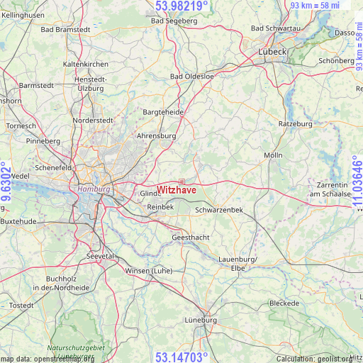
Witzhave GPS coordinates[2]
53° 34' 0.012" North, 10° 19' 59.988" East
| Map corner | latitude | longitude |
|---|---|---|
| Upper-left | 53.98219°, | 9.6302° |
| Center: | 53.56667°, | 10.33333° |
| Lower-right: | 53.14703°, | 11.03646° |
| Map W x H: | 92.9×92.9 km | = 57.7×57.7mi |
| max Lat: | 55.01917° ⇑13.6% North |
| Witzhave: | 53.56667° |
| min Lat: | ⇓86.4% South 47.40724° |
| min Long | Witzhave | max Long |
| 5.92978° | 10.33333° | 14.98853° |
| W 56%⇐ | ⇒44% E |
Elevation
Elevation of Witzhave is 26 m = 85 ft, and this is 223.1 m = 732 ft below average elevation for this country.
| Max E: |
1256 m = 4121 ft | 88.3% |
| Avg. | 249.1 m = 817 ft | |
| Witzhave | 26 m = 85 ft | |
Min E: |
-5 m = -16 ft | 11.7% |
See also: Germany elevation on elevation.city.
Geographical zone
Witzhave is located in North temperate zone (between Tropic of Cancer and the Arctic Circle). Distance of this North polar circle is 1445.1 km =897.9 mi to North.| Distance of | km | miles | from Witzhave |
|---|---|---|---|
| North Pole | 4051 | 2517.2 | to North |
| Arctic Circle | 1445.1 | 897.9 | to North |
| Tropic Cancer | 3350.1 | 2081.7 | to South |
| Equator | 5956.1 | 3700.9 | to South |


Nearby cities:
15 places around Witzhave: (largest is in red/bold)
• Braak
7.5 km =4.7 mi,  309°
309°
• Dahmker
7.9 km =4.9 mi,  76°
76°
• Dassendorf
8.1 km =5 mi,  167°
167°
• Grande
3.8 km =2.4 mi,  60°
60°
• Großensee
5.1 km =3.2 mi,  4°
4°
• Kasseburg
5.5 km =3.4 mi,  89°
89°
• Kröppelshagen-Fahrendorf
8.6 km =5.3 mi,  187°
187°
• Kuddewörde
4.8 km =3 mi,  67°
67°
• Möhnsen
7.7 km =4.8 mi, 90°
• Rausdorf
2.5 km =1.6 mi,  355°
355°
• Reinbek
7.9 km =4.9 mi,  225°
225°
• Siek
7.7 km =4.8 mi,  343°
343°
• Stapelfeld
8.5 km =5.3 mi,  295°
295°
• Trittau
7.1 km =4.4 mi,  38°
38°
• Wohltorf
6.5 km =4 mi,  210°
210°
Sources, notices
• [Note1] Compared only with cities in Germany existing in our database
• [Src1] Map data: © OpenStreetMap contributors (CC-BY-SA)
• [Src2] Other city data from geonames.org with taken over terms of usage.
• [Src3] Geographical zone / Annual Mean Temperature by Robert A. Rohde @ Wikipedia
