Tüttleben geodata
Tüttleben (Thuringia) is a seat of a fourth-order administrative division; located in Germany in Europe/Berlin (GMT+2) time zone. With population of 761 people, there are 8043 cities with bigger population in this country. Compared to other cities in Germany, 57.1% of cities are located further ↓South; 63.9% of cities are located further ←West and 58.8% of cities have lower elevation than Tüttleben. Note1


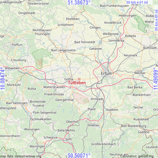
Tüttleben GPS coordinates[2]
50° 56' 44.988" North, 10° 47' 16.296" East
| Map corner | latitude | longitude |
|---|---|---|
| Upper-left | 51.38673°, | 10.08474° |
| Center: | 50.94583°, | 10.78786° |
| Lower-right: | 50.50071°, | 11.49099° |
| Map W x H: | 98.5×98.5 km | = 61.2×61.2mi |
| max Lat: | 55.01917° ⇑42.9% North |
| Tüttleben: | 50.94583° |
| min Lat: | ⇓57.1% South 47.40724° |
| min Long | Tüttleben | max Long |
| 5.92978° | 10.78786° | 14.98853° |
| W 63.9%⇐ | ⇒36.1% E |
Elevation
Elevation of Tüttleben is 283 m = 928 ft, and this is 33.9 m = 111 ft above average elevation for this country.
| Max E: |
1256 m = 4121 ft | 41.2% |
| Tüttleben | 283 m 928 ft | |
| Avg. | 249.1 m = 817 ft | |
Min E: |
-5 m = -16 ft | 58.8% |
See also: Germany elevation on elevation.city.
Geographical zone
Tüttleben is located in North temperate zone (between Tropic of Cancer and the Arctic Circle). Distance of this North polar circle is 1736.5 km =1079 mi to North.| Distance of | km | miles | from Tüttleben |
|---|---|---|---|
| North Pole | 4342.4 | 2698.2 | to North |
| Arctic Circle | 1736.5 | 1079 | to North |
| Tropic Cancer | 3058.7 | 1900.6 | to South |
| Equator | 5664.6 | 3519.8 | to South |


Nearby cities:
15 places around Tüttleben: (largest is in red/bold)
• Bufleben
7.1 km =4.4 mi,  327°
327°
• Emleben
8.3 km =5.2 mi,  225°
225°
• Friemar
3.5 km =2.2 mi,  0°
0°
• Gamstädt
6.8 km =4.2 mi,  87°
87°
• Gotha
6 km =3.7 mi,  272°
272°
• Grabsleben
3.5 km =2.2 mi,  107°
107°
• Molschleben
6 km =3.7 mi,  356°
356°
• Nottleben
4.9 km =3 mi,  61°
61°
• Pferdingsleben
3.1 km =1.9 mi,  41°
41°
• Remstädt
7.9 km =4.9 mi,  297°
297°
• Schwabhausen
7.5 km =4.7 mi,  211°
211°
• Seebergen
2.9 km =1.8 mi,  164°
164°
• Tröchtelborn
6.4 km =4 mi,  18°
18°
• Wandersleben
6.7 km =4.2 mi,  139°
139°
• Zimmernsupra
6.9 km =4.3 mi,  52°
52°
Sources, notices
• [Note1] Compared only with cities in Germany existing in our database
• [Src1] Map data: © OpenStreetMap contributors (CC-BY-SA)
• [Src2] Other city data from geonames.org with taken over terms of usage.
• [Src3] Geographical zone / Annual Mean Temperature by Robert A. Rohde @ Wikipedia
