Treuen geodata
Treuen (Saxony) is a populated place; located in Germany in Europe/Berlin (GMT+2) time zone. With population of 9,189 people, there are 1755 cities with bigger population in this country. Compared to other cities in Germany, 51.9% of cities are located further ↑North; 85.9% of cities are located further ←West and 84.5% of cities have lower elevation than Treuen. Note1


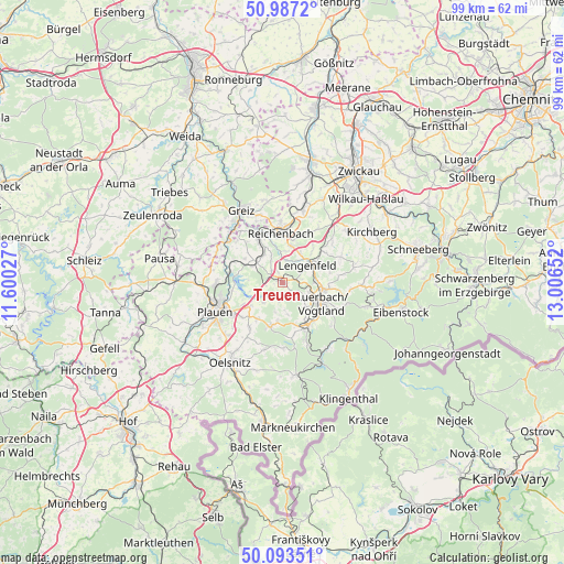
Treuen GPS coordinates[2]
50° 32' 32.892" North, 12° 18' 12.204" East
| Map corner | latitude | longitude |
|---|---|---|
| Upper-left | 50.9872°, | 11.60027° |
| Center: | 50.54247°, | 12.30339° |
| Lower-right: | 50.09351°, | 13.00652° |
| Map W x H: | 99.4×99.4 km | = 61.8×61.8mi |
| max Lat: | 55.01917° ⇑51.9% North |
| Treuen: | 50.54247° |
| min Lat: | ⇓48.1% South 47.40724° |
| min Long | Treuen | max Long |
| 5.92978° | 12.30339° | 14.98853° |
| W 85.9%⇐ | ⇒14.1% E |
Elevation
Elevation of Treuen is 465 m = 1526 ft, and this is 215.9 m = 708 ft above average elevation for this country.
| Max E: |
1256 m = 4121 ft | 15.5% |
| Treuen | 465 m 1526 ft | |
| Avg. | 249.1 m = 817 ft | |
Min E: |
-5 m = -16 ft | 84.5% |
See also: Germany elevation on elevation.city.
Geographical zone
Treuen is located in North temperate zone (between Tropic of Cancer and the Arctic Circle). Distance of this North polar circle is 1781.4 km =1106.9 mi to North.| Distance of | km | miles | from Treuen |
|---|---|---|---|
| North Pole | 4387.3 | 2726.1 | to North |
| Arctic Circle | 1781.4 | 1106.9 | to North |
| Tropic Cancer | 3013.9 | 1872.8 | to South |
| Equator | 5619.8 | 3492 | to South |


Nearby cities:
15 places around Treuen: (largest is in red/bold)
• Auerbach
7.7 km =4.8 mi,  116°
116°
• Bergen
8.2 km =5.1 mi,  194°
194°
• Ellefeld
8.9 km =5.5 mi,  137°
137°
• Falkenstein
8.6 km =5.3 mi,  146°
146°
• Lengenfeld
5.2 km =3.2 mi,  55°
55°
• Limbach
5.9 km =3.7 mi,  320°
320°
• Mylau
8.9 km =5.5 mi,  342°
342°
• Netzschkau
9 km =5.6 mi,  332°
332°
• Neuensalz
7.7 km =4.8 mi,  232°
232°
• Neustadt Vogtland
9.3 km =5.8 mi,  167°
167°
• Pöhl
8.5 km =5.3 mi,  275°
275°
• Reichenbach/Vogtland
8.9 km =5.5 mi,  0°
0°
• Rodewisch
7.9 km =4.9 mi,  99°
99°
• Theuma
9.9 km =6.2 mi,  215°
215°
• Waldkirchen
8.1 km =5 mi,  41°
41°
Sources, notices
• [Note1] Compared only with cities in Germany existing in our database
• [Src1] Map data: © OpenStreetMap contributors (CC-BY-SA)
• [Src2] Other city data from geonames.org with taken over terms of usage.
• [Src3] Geographical zone / Annual Mean Temperature by Robert A. Rohde @ Wikipedia
