Tangstedt geodata
Tangstedt (Schleswig-Holstein) is a seat of a fourth-order administrative division; located in Germany in Europe/Berlin (GMT+2) time zone. With population of 5,937 people, there are 2483 cities with bigger population in this country. Compared to other cities in Germany, 89.1% of cities are located further ↓South; 51.4% of cities are located further ←West and 86.3% of cities have higher elevation than Tangstedt. Note1


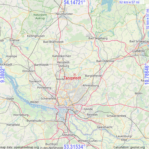
Tangstedt GPS coordinates[2]
53° 43' 59.988" North, 10° 4' 59.988" East
| Map corner | latitude | longitude |
|---|---|---|
| Upper-left | 54.14721°, | 9.3802° |
| Center: | 53.73333°, | 10.08333° |
| Lower-right: | 53.31534°, | 10.78646° |
| Map W x H: | 92.5×92.5 km | = 57.5×57.5mi |
| max Lat: | 55.01917° ⇑10.9% North |
| Tangstedt: | 53.73333° |
| min Lat: | ⇓89.1% South 47.40724° |
| min Long | Tangstedt | max Long |
| 5.92978° | 10.08333° | 14.98853° |
| W 51.4%⇐ | ⇒48.6% E |
Elevation
Elevation of Tangstedt is 32 m = 105 ft, and this is 217.1 m = 712 ft below average elevation for this country.
| Max E: |
1256 m = 4121 ft | 86.3% |
| Avg. | 249.1 m = 817 ft | |
| Tangstedt | 32 m = 105 ft | |
Min E: |
-5 m = -16 ft | 13.7% |
See also: Germany elevation on elevation.city.
Geographical zone
Tangstedt is located in North temperate zone (between Tropic of Cancer and the Arctic Circle). Distance of this North polar circle is 1426.6 km =886.4 mi to North.| Distance of | km | miles | from Tangstedt |
|---|---|---|---|
| North Pole | 4032.5 | 2505.7 | to North |
| Arctic Circle | 1426.6 | 886.4 | to North |
| Tropic Cancer | 3368.7 | 2093.2 | to South |
| Equator | 5974.6 | 3712.4 | to South |


Nearby cities:
15 places around Tangstedt: (largest is in red/bold)
• Bargfeld-Stegen
7.8 km =4.8 mi,  60°
60°
• Bergstedt
7.5 km =4.7 mi,  157°
157°
• Duvenstedt
3.1 km =1.9 mi,  153°
153°
• Hummelsbüttel
9.9 km =6.2 mi,  196°
196°
• Itzstedt
9.6 km =6 mi,  30°
30°
• Jersbek
8.8 km =5.5 mi,  90°
90°
• Kayhude
4.1 km =2.5 mi,  51°
51°
• Langenhorn
8.6 km =5.3 mi,  210°
210°
• Lemsahl-Mellingstedt
4.9 km =3 mi,  169°
169°
• Nahe
8.1 km =5 mi,  23°
23°
• Nienwohld
9.4 km =5.8 mi, 50°
• Norderstedt
8.6 km =5.3 mi,  232°
232°
• Poppenbüttel
8.2 km =5.1 mi,  179°
179°
• Sasel
9 km =5.6 mi, 168°
• Wohldorf-Ohlstedt
5.5 km =3.4 mi, 145°
Sources, notices
• [Note1] Compared only with cities in Germany existing in our database
• [Src1] Map data: © OpenStreetMap contributors (CC-BY-SA)
• [Src2] Other city data from geonames.org with taken over terms of usage.
• [Src3] Geographical zone / Annual Mean Temperature by Robert A. Rohde @ Wikipedia
