Taarstedt geodata
Taarstedt (Schleswig-Holstein) is a seat of a fourth-order administrative division; located in Germany in Europe/Berlin (GMT+2) time zone. With population of 862 people, there are 7654 cities with bigger population in this country. Compared to other cities in Germany, 98.3% of cities are located further ↓South; 54.7% of cities are located further →East and 93.9% of cities have higher elevation than Taarstedt. Note1
Administrative division(s):
- Level 1: Schleswig-Holstein
- Level 3: Kreis Schleswig-Flensburg
- Level 4: Taarstedt


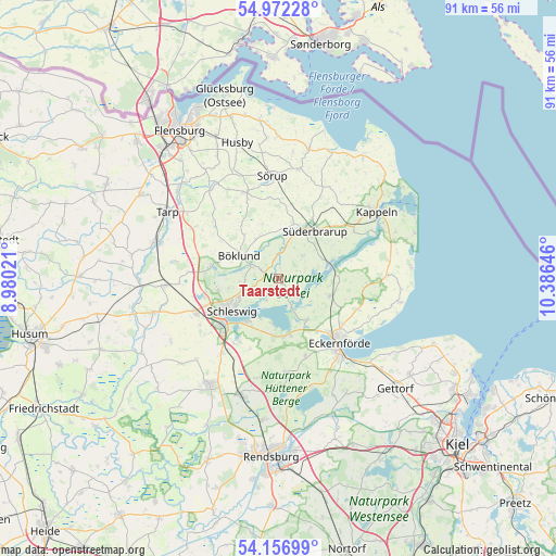
Taarstedt GPS coordinates[2]
54° 34' 0.012" North, 9° 40' 59.988" East
| Map corner | latitude | longitude |
|---|---|---|
| Upper-left | 54.97228°, | 8.98021° |
| Center: | 54.56667°, | 9.68333° |
| Lower-right: | 54.15699°, | 10.38646° |
| Map W x H: | 90.7×90.6 km | = 56.4×56.3mi |
| max Lat: | 55.01917° ⇑1.7% North |
| Taarstedt: | 54.56667° |
| min Lat: | ⇓98.3% South 47.40724° |
| min Long | Taarstedt | max Long |
| 5.92978° | 9.68333° | 14.98853° |
| W 45.3%⇐ | ⇒54.7% E |
Elevation
Elevation of Taarstedt is 11 m = 36 ft, and this is 238.1 m = 781 ft below average elevation for this country.
| Max E: |
1256 m = 4121 ft | 93.9% |
| Avg. | 249.1 m = 817 ft | |
| Taarstedt | 11 m = 36 ft | |
Min E: |
-5 m = -16 ft | 6.1% |
See also: Germany elevation on elevation.city.
Geographical zone
Taarstedt is located in North temperate zone (between Tropic of Cancer and the Arctic Circle). Distance of this North polar circle is 1333.9 km =828.8 mi to North.| Distance of | km | miles | from Taarstedt |
|---|---|---|---|
| North Pole | 3939.8 | 2448.1 | to North |
| Arctic Circle | 1333.9 | 828.8 | to North |
| Tropic Cancer | 3461.3 | 2150.8 | to South |
| Equator | 6067.2 | 3770 | to South |


Nearby cities:
15 places around Taarstedt: (largest is in red/bold)
• Borgwedel
7.5 km =4.7 mi,  188°
188°
• Brodersby
4.3 km =2.7 mi,  149°
149°
• Böklund
7.4 km =4.6 mi,  299°
299°
• Goltoft
2.8 km =1.7 mi,  130°
130°
• Kosel
8.3 km =5.2 mi, 145°
• Loit
5.7 km =3.5 mi,  10°
10°
• Nottfeld
7.7 km =4.8 mi,  44°
44°
• Nübel
6.4 km =4 mi,  270°
270°
• Schaalby
3.7 km =2.3 mi,  240°
240°
• Steinfeld
5.7 km =3.5 mi,  49°
49°
• Struxdorf
7.7 km =4.8 mi,  338°
338°
• Süderfahrenstedt
6.7 km =4.2 mi,  286°
286°
• Tolk
3.2 km =2 mi, 296°
• Twedt
3.7 km =2.3 mi,  0°
0°
• Ulsnis
4.3 km =2.7 mi,  90°
90°
Sources, notices
• [Note1] Compared only with cities in Germany existing in our database
• [Src1] Map data: © OpenStreetMap contributors (CC-BY-SA)
• [Src2] Other city data from geonames.org with taken over terms of usage.
• [Src3] Geographical zone / Annual Mean Temperature by Robert A. Rohde @ Wikipedia
