Spessart geodata
Spessart (Rheinland-Pfalz) is a seat of a fourth-order administrative division; located in Germany in Europe/Berlin (GMT+2) time zone. With population of 781 people, there are 7978 cities with bigger population in this country. Compared to other cities in Germany, 53.9% of cities are located further ↑North; 92.3% of cities are located further →East and 89.4% of cities have lower elevation than Spessart. Note1


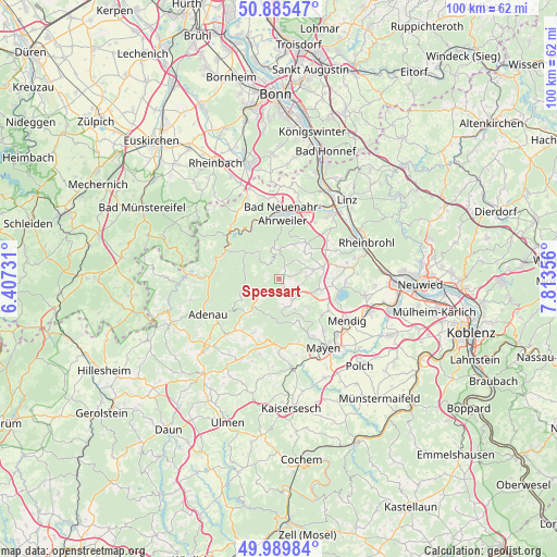
Spessart GPS coordinates[2]
50° 26' 23.172" North, 7° 6' 37.548" East
| Map corner | latitude | longitude |
|---|---|---|
| Upper-left | 50.88547°, | 6.40731° |
| Center: | 50.43977°, | 7.11043° |
| Lower-right: | 49.98984°, | 7.81356° |
| Map W x H: | 99.6×99.6 km | = 61.9×61.9mi |
| max Lat: | 55.01917° ⇑53.9% North |
| Spessart: | 50.43977° |
| min Lat: | ⇓46.1% South 47.40724° |
| min Long | Spessart | max Long |
| 5.92978° | 7.11043° | 14.98853° |
| W 7.7%⇐ | ⇒92.3% E |
Elevation
Elevation of Spessart is 507 m = 1663 ft, and this is 257.9 m = 846 ft above average elevation for this country.
| Max E: |
1256 m = 4121 ft | 10.6% |
| Spessart | 507 m 1663 ft | |
| Avg. | 249.1 m = 817 ft | |
Min E: |
-5 m = -16 ft | 89.4% |
See also: Germany elevation on elevation.city.
Geographical zone
Spessart is located in North temperate zone (between Tropic of Cancer and the Arctic Circle). Distance of this North polar circle is 1792.8 km =1114 mi to North.| Distance of | km | miles | from Spessart |
|---|---|---|---|
| North Pole | 4398.7 | 2733.2 | to North |
| Arctic Circle | 1792.8 | 1114 | to North |
| Tropic Cancer | 3002.5 | 1865.7 | to South |
| Equator | 5608.4 | 3484.9 | to South |


Nearby cities:
15 places around Spessart: (largest is in red/bold)
• Arft
6.6 km =4.1 mi,  197°
197°
• Brenk
5.2 km =3.2 mi,  97°
97°
• Galenberg
6.4 km =4 mi, 96°
• Hausten
4.4 km =2.7 mi,  174°
174°
• Heckenbach
5.2 km =3.2 mi,  304°
304°
• Hohenleimbach
4 km =2.5 mi,  230°
230°
• Kempenich
2.2 km =1.4 mi, 167°
• Langscheid
6.3 km =3.9 mi,  175°
175°
• Niederdürenbach
5.3 km =3.3 mi,  77°
77°
• Oberdürenbach
5 km =3.1 mi,  53°
53°
• Oberzissen
6.4 km =4 mi, 79°
• Rieden
6.8 km =4.2 mi,  130°
130°
• Schalkenbach
6.6 km =4.1 mi,  22°
22°
• Volkesfeld
5.2 km =3.2 mi,  147°
147°
• Weibern
4.4 km =2.7 mi,  143°
143°
Sources, notices
• [Note1] Compared only with cities in Germany existing in our database
• [Src1] Map data: © OpenStreetMap contributors (CC-BY-SA)
• [Src2] Other city data from geonames.org with taken over terms of usage.
• [Src3] Geographical zone / Annual Mean Temperature by Robert A. Rohde @ Wikipedia
