Sandhausen geodata
Sandhausen (Baden-Württemberg) is a seat of a fourth-order administrative division; located in Germany in Europe/Berlin (GMT+2) time zone. With population of 14,336 people, there are 1105 cities with bigger population in this country. Compared to other cities in Germany, 78% of cities are located further ↑North; 69.5% of cities are located further →East and 66.9% of cities have higher elevation than Sandhausen. Note1
Administrative division(s):
- Level 1: Baden-Württemberg
- Level 2: Karlsruhe Region
- Level 3: Rhein-Neckar-Kreis
- Level 4: Sandhausen


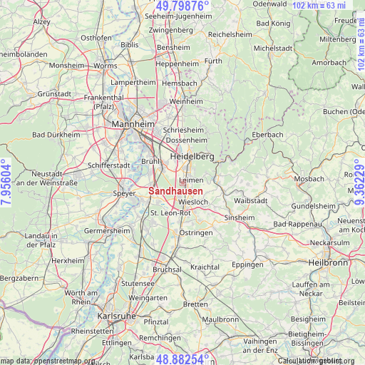
Sandhausen GPS coordinates[2]
49° 20' 34.008" North, 8° 39' 33.012" East
| Map corner | latitude | longitude |
|---|---|---|
| Upper-left | 49.79876°, | 7.95604° |
| Center: | 49.34278°, | 8.65917° |
| Lower-right: | 48.88254°, | 9.36229° |
| Map W x H: | 101.9×101.9 km | = 63.3×63.3mi |
| max Lat: | 55.01917° ⇑78% North |
| Sandhausen: | 49.34278° |
| min Lat: | ⇓22% South 47.40724° |
| min Long | Sandhausen | max Long |
| 5.92978° | 8.65917° | 14.98853° |
| W 30.5%⇐ | ⇒69.5% E |
Elevation
Elevation of Sandhausen is 109 m = 358 ft, and this is 140.1 m = 460 ft below average elevation for this country.
| Max E: |
1256 m = 4121 ft | 66.9% |
| Avg. | 249.1 m = 817 ft | |
| Sandhausen | 109 m = 358 ft | |
Min E: |
-5 m = -16 ft | 33.1% |
See also: Germany elevation on elevation.city.
Geographical zone
Sandhausen is located in North temperate zone (between Tropic of Cancer and the Arctic Circle). Distance of this North polar circle is 1914.8 km =1189.8 mi to North.| Distance of | km | miles | from Sandhausen |
|---|---|---|---|
| North Pole | 4520.7 | 2809 | to North |
| Arctic Circle | 1914.8 | 1189.8 | to North |
| Tropic Cancer | 2880.5 | 1789.9 | to South |
| Equator | 5486.4 | 3409.1 | to South |


Nearby cities:
15 places around Sandhausen: (largest is in red/bold)
• Bammental
8.8 km =5.5 mi,  80°
80°
• Dielheim
8.7 km =5.4 mi,  138°
138°
• Eppelheim
6.8 km =4.2 mi,  345°
345°
• Gaiberg
7.1 km =4.4 mi,  68°
68°
• Heidelberg
7.6 km =4.7 mi,  17°
17°
• Hockenheim
8.1 km =5 mi,  254°
254°
• Leimen
2.1 km =1.3 mi, 75°
• Nußloch
3.4 km =2.1 mi,  128°
128°
• Oftersheim
6.1 km =3.8 mi,  294°
294°
• Plankstadt
7.3 km =4.5 mi,  321°
321°
• Rauenberg
8.8 km =5.5 mi,  158°
158°
• Reilingen
8.5 km =5.3 mi,  234°
234°
• Schwetzingen
7.1 km =4.4 mi,  308°
308°
• Walldorf
4.2 km =2.6 mi,  196°
196°
• Wiesloch
6 km =3.7 mi,  151°
151°
Sources, notices
• [Note1] Compared only with cities in Germany existing in our database
• [Src1] Map data: © OpenStreetMap contributors (CC-BY-SA)
• [Src2] Other city data from geonames.org with taken over terms of usage.
• [Src3] Geographical zone / Annual Mean Temperature by Robert A. Rohde @ Wikipedia
