Reinhausen geodata
Reinhausen (Bavaria) is a section of populated place; located in Germany in Europe/Berlin (GMT+2) time zone. With population of 9,207 people, there are 1752 cities with bigger population in this country. Compared to other cities in Germany, 82.7% of cities are located further ↑North; 83.4% of cities are located further ←West and 67.5% of cities have lower elevation than Reinhausen. Note1
Administrative division(s):
- Level 1: Bavaria
- Level 2: Upper Palatinate
- Level 3: Kreisfreie Stadt Regensburg
- Level 4: Regensburg


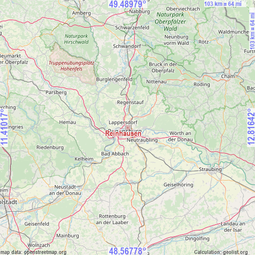
Reinhausen GPS coordinates[2]
49° 1' 51.312" North, 12° 6' 47.844" East
| Map corner | latitude | longitude |
|---|---|---|
| Upper-left | 49.48979°, | 11.41017° |
| Center: | 49.03092°, | 12.11329° |
| Lower-right: | 48.56778°, | 12.81642° |
| Map W x H: | 102.5×102.5 km | = 63.7×63.7mi |
| max Lat: | 55.01917° ⇑82.7% North |
| Reinhausen: | 49.03092° |
| min Lat: | ⇓17.3% South 47.40724° |
| min Long | Reinhausen | max Long |
| 5.92978° | 12.11329° | 14.98853° |
| W 83.4%⇐ | ⇒16.6% E |
Elevation
Elevation of Reinhausen is 339 m = 1112 ft, and this is 89.9 m = 295 ft above average elevation for this country.
| Max E: |
1256 m = 4121 ft | 32.5% |
| Reinhausen | 339 m 1112 ft | |
| Avg. | 249.1 m = 817 ft | |
Min E: |
-5 m = -16 ft | 67.5% |
See also: Germany elevation on elevation.city.
Geographical zone
Reinhausen is located in North temperate zone (between Tropic of Cancer and the Arctic Circle). Distance of this North polar circle is 1949.4 km =1211.3 mi to North.| Distance of | km | miles | from Reinhausen |
|---|---|---|---|
| North Pole | 4555.3 | 2830.5 | to North |
| Arctic Circle | 1949.4 | 1211.3 | to North |
| Tropic Cancer | 2845.8 | 1768.3 | to South |
| Equator | 5451.7 | 3387.5 | to South |


Nearby cities:
15 places around Reinhausen: (largest is in red/bold)
• Bad Abbach
11.5 km =7.1 mi,  205°
205°
• Barbing
7.2 km =4.5 mi,  118°
118°
• Donaustauf
6.7 km =4.2 mi,  88°
88°
• Lappersdorf
2.4 km =1.5 mi,  318°
318°
• Neutraubling
8 km =5 mi,  127°
127°
• Nittendorf
11.1 km =6.9 mi,  266°
266°
• Obertraubling
8.1 km =5 mi,  151°
151°
• Pentling
6.6 km =4.1 mi,  217°
217°
• Pettendorf
8.4 km =5.2 mi,  293°
293°
• Regensburg
2 km =1.2 mi, 205°
• Regenstauf
10 km =6.2 mi,  7°
7°
• Sinzing
6.8 km =4.2 mi,  239°
239°
• Tegernheim
4.4 km =2.7 mi,  100°
100°
• Wenzenbach
8 km =5 mi,  51°
51°
• Zeitlarn
5.3 km =3.3 mi,  358°
358°
Sources, notices
• [Note1] Compared only with cities in Germany existing in our database
• [Src1] Map data: © OpenStreetMap contributors (CC-BY-SA)
• [Src2] Other city data from geonames.org with taken over terms of usage.
• [Src3] Geographical zone / Annual Mean Temperature by Robert A. Rohde @ Wikipedia
