Pillig geodata
Pillig (Rheinland-Pfalz) is a seat of a fourth-order administrative division; located in Germany in Europe/Berlin (GMT+2) time zone. With population of 501 people, there are 9370 cities with bigger population in this country. Compared to other cities in Germany, 58.1% of cities are located further ↑North; 89.8% of cities are located further →East and 50.3% of cities have higher elevation than Pillig. Note1
Administrative division(s):
- Level 1: Rheinland-Pfalz
- Level 3: Landkreis Mayen-Koblenz
- Level 4: Pillig


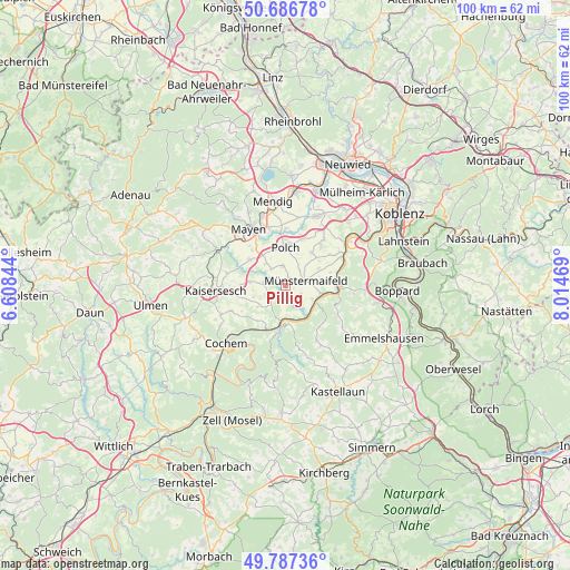
Pillig GPS coordinates[2]
50° 14' 21.084" North, 7° 18' 41.652" East
| Map corner | latitude | longitude |
|---|---|---|
| Upper-left | 50.68678°, | 6.60844° |
| Center: | 50.23919°, | 7.31157° |
| Lower-right: | 49.78736°, | 8.01469° |
| Map W x H: | 100×100 km | = 62.1×62.1mi |
| max Lat: | 55.01917° ⇑58.1% North |
| Pillig: | 50.23919° |
| min Lat: | ⇓41.9% South 47.40724° |
| min Long | Pillig | max Long |
| 5.92978° | 7.31157° | 14.98853° |
| W 10.2%⇐ | ⇒89.8% E |
Elevation
Elevation of Pillig is 223 m = 732 ft, and this is 26.1 m = 86 ft below average elevation for this country.
| Max E: |
1256 m = 4121 ft | 50.3% |
| Avg. | 249.1 m = 817 ft | |
| Pillig | 223 m = 732 ft | |
Min E: |
-5 m = -16 ft | 49.7% |
See also: Germany elevation on elevation.city.
Geographical zone
Pillig is located in North temperate zone (between Tropic of Cancer and the Arctic Circle). Distance of this North polar circle is 1815.1 km =1127.9 mi to North.| Distance of | km | miles | from Pillig |
|---|---|---|---|
| North Pole | 4421 | 2747.1 | to North |
| Arctic Circle | 1815.1 | 1127.9 | to North |
| Tropic Cancer | 2980.2 | 1851.8 | to South |
| Equator | 5586.1 | 3471 | to South |


Nearby cities:
15 places around Pillig: (largest is in red/bold)
• Binningen
5.9 km =3.7 mi,  231°
231°
• Brachtendorf
5.6 km =3.5 mi,  263°
263°
• Brohl
3.2 km =2 mi, 225°
• Dünfus
6.1 km =3.8 mi,  245°
245°
• Einig
5.3 km =3.3 mi,  337°
337°
• Gappenach
4.4 km =2.7 mi,  32°
32°
• Gering
5.9 km =3.7 mi,  326°
326°
• Gierschnach
4.1 km =2.5 mi,  41°
41°
• Kollig
3.7 km =2.3 mi, 326°
• Mertloch
3.4 km =2.1 mi,  355°
355°
• Möntenich
2.2 km =1.4 mi,  203°
203°
• Münstermaifeld
3.7 km =2.3 mi,  77°
77°
• Naunheim
1.3 km =0.8 mi,  16°
16°
• Roes
3.8 km =2.4 mi,  276°
276°
• Wierschem
3.2 km =2 mi,  118°
118°
Sources, notices
• [Note1] Compared only with cities in Germany existing in our database
• [Src1] Map data: © OpenStreetMap contributors (CC-BY-SA)
• [Src2] Other city data from geonames.org with taken over terms of usage.
• [Src3] Geographical zone / Annual Mean Temperature by Robert A. Rohde @ Wikipedia
