Owingen geodata
Owingen (Baden-Württemberg) is a seat of a fourth-order administrative division; located in Germany in Europe/Berlin (GMT+2) time zone. With population of 4,207 people, there are 3174 cities with bigger population in this country. Compared to other cities in Germany, 97.6% of cities are located further ↑North; 62.8% of cities are located further →East and 91.4% of cities have lower elevation than Owingen. Note1
Administrative division(s):
- Level 1: Baden-Württemberg
- Level 2: Tübingen Region
- Level 3: Bodenseekreis
- Level 4: Owingen


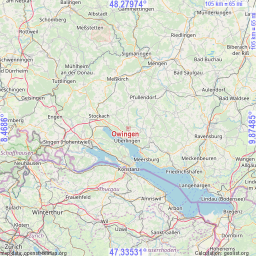
Owingen GPS coordinates[2]
47° 48' 34.812" North, 9° 10' 18.228" East
| Map corner | latitude | longitude |
|---|---|---|
| Upper-left | 48.27974°, | 8.4686° |
| Center: | 47.80967°, | 9.17173° |
| Lower-right: | 47.33531°, | 9.87485° |
| Map W x H: | 105×105 km | = 65.2×65.2mi |
| max Lat: | 55.01917° ⇑97.6% North |
| Owingen: | 47.80967° |
| min Lat: | ⇓2.4% South 47.40724° |
| min Long | Owingen | max Long |
| 5.92978° | 9.17173° | 14.98853° |
| W 37.2%⇐ | ⇒62.8% E |
Elevation
Elevation of Owingen is 533 m = 1749 ft, and this is 283.9 m = 931 ft above average elevation for this country.
| Max E: |
1256 m = 4121 ft | 8.6% |
| Owingen | 533 m 1749 ft | |
| Avg. | 249.1 m = 817 ft | |
Min E: |
-5 m = -16 ft | 91.4% |
See also: Germany elevation on elevation.city.
Geographical zone
Owingen is located in North temperate zone (between Tropic of Cancer and the Arctic Circle). Distance of this North polar circle is 2085.2 km =1295.7 mi to North.| Distance of | km | miles | from Owingen |
|---|---|---|---|
| North Pole | 4691.1 | 2914.9 | to North |
| Arctic Circle | 2085.2 | 1295.7 | to North |
| Tropic Cancer | 2710 | 1683.9 | to South |
| Equator | 5315.9 | 3303.1 | to South |


Nearby cities:
15 places around Owingen: (largest is in red/bold)
• Allensbach
12.9 km =8 mi,  215°
215°
• Bodman-Ludwigshafen
8.7 km =5.4 mi,  276°
276°
• Daisendorf
13 km =8.1 mi,  146°
146°
• Frickingen
7.6 km =4.7 mi,  86°
86°
• Fürstenberg
14.6 km =9.1 mi,  184°
184°
• Heiligenberg
10.6 km =6.6 mi,  83°
83°
• Herdwangen-Schönach
5 km =3.1 mi,  25°
25°
• Pfullendorf
14.5 km =9 mi, 26°
• Rot
13.5 km =8.4 mi,  338°
338°
• Salem
10.3 km =6.4 mi,  120°
120°
• Sipplingen
5.7 km =3.5 mi,  255°
255°
• Stockach
13 km =8.1 mi,  290°
290°
• Uhldingen-Mühlhofen
10.3 km =6.4 mi, 145°
• Wald
13.8 km =8.6 mi,  358°
358°
• Überlingen
4.4 km =2.7 mi, 180°
Sources, notices
• [Note1] Compared only with cities in Germany existing in our database
• [Src1] Map data: © OpenStreetMap contributors (CC-BY-SA)
• [Src2] Other city data from geonames.org with taken over terms of usage.
• [Src3] Geographical zone / Annual Mean Temperature by Robert A. Rohde @ Wikipedia
