Ostseebad Binz geodata
Ostseebad Binz (Mecklenburg-Vorpommern) is a populated place; located in Germany in Europe/Berlin (GMT+2) time zone. With population of 5,531 people, there are 2617 cities with bigger population in this country. Compared to other cities in Germany, 97.3% of cities are located further ↓South; 96.4% of cities are located further ←West and 96.6% of cities have higher elevation than Ostseebad Binz. Note1


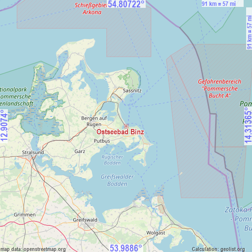
Ostseebad Binz GPS coordinates[2]
54° 23' 59.82" North, 13° 36' 37.872" East
| Map corner | latitude | longitude |
|---|---|---|
| Upper-left | 54.80722°, | 12.9074° |
| Center: | 54.39995°, | 13.61052° |
| Lower-right: | 53.9886°, | 14.31365° |
| Map W x H: | 91×91 km | = 56.5×56.5mi |
| max Lat: | 55.01917° ⇑2.7% North |
| Ostseebad Binz: | 54.39995° |
| min Lat: | ⇓97.3% South 47.40724° |
| min Long | Ostseebad Binz | max Long |
| 5.92978° | 13.61052° | 14.98853° |
| W 96.4%⇐ | ⇒3.6% E |
Elevation
Elevation of Ostseebad Binz is 5 m = 16 ft, and this is 244.1 m = 801 ft below average elevation for this country.
| Max E: |
1256 m = 4121 ft | 96.6% |
| Avg. | 249.1 m = 817 ft | |
| Ostseebad Binz | 5 m = 16 ft | |
Min E: |
-5 m = -16 ft | 3.4% |
See also: Germany elevation on elevation.city.
Geographical zone
Ostseebad Binz is located in North temperate zone (between Tropic of Cancer and the Arctic Circle). Distance of this North polar circle is 1352.5 km =840.4 mi to North.| Distance of | km | miles | from Ostseebad Binz |
|---|---|---|---|
| North Pole | 3958.4 | 2459.6 | to North |
| Arctic Circle | 1352.5 | 840.4 | to North |
| Tropic Cancer | 3442.8 | 2139.3 | to South |
| Equator | 6048.7 | 3758.5 | to South |


Nearby cities:
15 places around Ostseebad Binz: (largest is in red/bold)
• Bergen auf Rügen
11.6 km =7.2 mi,  280°
280°
• Dreschvitz
20.5 km =12.7 mi,  270°
270°
• Garz
19.1 km =11.9 mi,  241°
241°
• Glowe
21 km =13 mi,  333°
333°
• Lohme
20.4 km =12.7 mi,  0°
0°
• Ostseebad Baabe
7.5 km =4.7 mi,  126°
126°
• Ostseebad Göhren
10.5 km =6.5 mi, 128°
• Ostseebad Sellin
5.9 km =3.7 mi,  113°
113°
• Parchtitz
14.3 km =8.9 mi,  287°
287°
• Patzig
15.7 km =9.8 mi,  297°
297°
• Putbus
10 km =6.2 mi, 240°
• Sagard
14.4 km =8.9 mi,  345°
345°
• Samtens
21.2 km =13.2 mi,  256°
256°
• Saßnitz
13.1 km =8.1 mi,  9°
9°
• Sehlen
14.5 km =9 mi, 261°
Sources, notices
• [Note1] Compared only with cities in Germany existing in our database
• [Src1] Map data: © OpenStreetMap contributors (CC-BY-SA)
• [Src2] Other city data from geonames.org with taken over terms of usage.
• [Src3] Geographical zone / Annual Mean Temperature by Robert A. Rohde @ Wikipedia
