Masburg geodata
Masburg (Rheinland-Pfalz) is a seat of a fourth-order administrative division; located in Germany in Europe/Berlin (GMT+2) time zone. With population of 1,037 people, there are 7058 cities with bigger population in this country. Compared to other cities in Germany, 58.1% of cities are located further ↑North; 92.2% of cities are located further →East and 87.6% of cities have lower elevation than Masburg. Note1
Administrative division(s):
- Level 1: Rheinland-Pfalz
- Level 3: Landkreis Cochem-Zell
- Level 4: Masburg


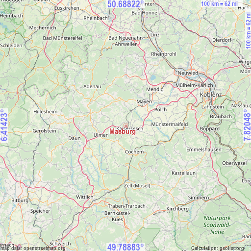
Masburg GPS coordinates[2]
50° 14' 26.34" North, 7° 7' 2.496" East
| Map corner | latitude | longitude |
|---|---|---|
| Upper-left | 50.68822°, | 6.41423° |
| Center: | 50.24065°, | 7.11736° |
| Lower-right: | 49.78883°, | 7.82048° |
| Map W x H: | 100×100 km | = 62.1×62.1mi |
| max Lat: | 55.01917° ⇑58.1% North |
| Masburg: | 50.24065° |
| min Lat: | ⇓41.9% South 47.40724° |
| min Long | Masburg | max Long |
| 5.92978° | 7.11736° | 14.98853° |
| W 7.8%⇐ | ⇒92.2% E |
Elevation
Elevation of Masburg is 490 m = 1608 ft, and this is 240.9 m = 790 ft above average elevation for this country.
| Max E: |
1256 m = 4121 ft | 12.4% |
| Masburg | 490 m 1608 ft | |
| Avg. | 249.1 m = 817 ft | |
Min E: |
-5 m = -16 ft | 87.6% |
See also: Germany elevation on elevation.city.
Geographical zone
Masburg is located in North temperate zone (between Tropic of Cancer and the Arctic Circle). Distance of this North polar circle is 1814.9 km =1127.7 mi to North.| Distance of | km | miles | from Masburg |
|---|---|---|---|
| North Pole | 4420.8 | 2747 | to North |
| Arctic Circle | 1814.9 | 1127.7 | to North |
| Tropic Cancer | 2980.3 | 1851.9 | to South |
| Equator | 5586.2 | 3471.1 | to South |


Nearby cities:
15 places around Masburg: (largest is in red/bold)
• Bermel
5.3 km =3.3 mi,  332°
332°
• Düngenheim
4.1 km =2.5 mi,  56°
56°
• Eppenberg
3.8 km =2.4 mi,  286°
286°
• Eulgem
3.6 km =2.2 mi,  103°
103°
• Hambuch
4.9 km =3 mi,  110°
110°
• Hauroth
1.6 km =1 mi,  310°
310°
• Kaisersesch
1.8 km =1.1 mi,  123°
123°
• Kalenborn
3.8 km =2.4 mi,  320°
320°
• Landkern
5.8 km =3.6 mi,  153°
153°
• Laubach
3.3 km =2.1 mi,  254°
254°
• Leienkaul
3.6 km =2.2 mi,  222°
222°
• Müllenbach
4.2 km =2.6 mi,  239°
239°
• Oberelz
5.6 km =3.5 mi,  301°
301°
• Urmersbach
1.5 km =0.9 mi,  47°
47°
• Zettingen
5.9 km =3.7 mi, 97°
Sources, notices
• [Note1] Compared only with cities in Germany existing in our database
• [Src1] Map data: © OpenStreetMap contributors (CC-BY-SA)
• [Src2] Other city data from geonames.org with taken over terms of usage.
• [Src3] Geographical zone / Annual Mean Temperature by Robert A. Rohde @ Wikipedia
