Landkern geodata
Landkern (Rheinland-Pfalz) is a seat of a fourth-order administrative division; located in Germany in Europe/Berlin (GMT+2) time zone. With population of 853 people, there are 7690 cities with bigger population in this country. Compared to other cities in Germany, 59.1% of cities are located further ↑North; 91.8% of cities are located further →East and 76.4% of cities have lower elevation than Landkern. Note1
Administrative division(s):
- Level 1: Rheinland-Pfalz
- Level 3: Landkreis Cochem-Zell
- Level 4: Landkern


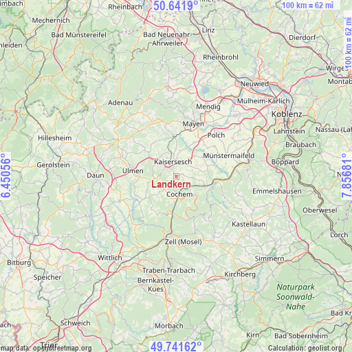
Landkern GPS coordinates[2]
50° 11' 37.968" North, 7° 9' 13.284" East
| Map corner | latitude | longitude |
|---|---|---|
| Upper-left | 50.6419°, | 6.45056° |
| Center: | 50.19388°, | 7.15369° |
| Lower-right: | 49.74162°, | 7.85681° |
| Map W x H: | 100.1×100.1 km | = 62.2×62.2mi |
| max Lat: | 55.01917° ⇑59.1% North |
| Landkern: | 50.19388° |
| min Lat: | ⇓40.9% South 47.40724° |
| min Long | Landkern | max Long |
| 5.92978° | 7.15369° | 14.98853° |
| W 8.2%⇐ | ⇒91.8% E |
Elevation
Elevation of Landkern is 408 m = 1339 ft, and this is 158.9 m = 521 ft above average elevation for this country.
| Max E: |
1256 m = 4121 ft | 23.6% |
| Landkern | 408 m 1339 ft | |
| Avg. | 249.1 m = 817 ft | |
Min E: |
-5 m = -16 ft | 76.4% |
See also: Germany elevation on elevation.city.
Geographical zone
Landkern is located in North temperate zone (between Tropic of Cancer and the Arctic Circle). Distance of this North polar circle is 1820.1 km =1131 mi to North.| Distance of | km | miles | from Landkern |
|---|---|---|---|
| North Pole | 4426 | 2750.2 | to North |
| Arctic Circle | 1820.1 | 1131 | to North |
| Tropic Cancer | 2975.1 | 1848.6 | to South |
| Equator | 5581 | 3467.9 | to South |


Nearby cities:
15 places around Landkern: (largest is in red/bold)
• Büchel
5.5 km =3.4 mi,  245°
245°
• Cochem
5.5 km =3.4 mi,  172°
172°
• Eulgem
4.5 km =2.8 mi,  11°
11°
• Faid
6 km =3.7 mi,  203°
203°
• Gamlen
5.5 km =3.4 mi,  36°
36°
• Greimersburg
1.9 km =1.2 mi,  231°
231°
• Hambuch
4 km =2.5 mi,  30°
30°
• Illerich
2.2 km =1.4 mi,  72°
72°
• Kail
5.8 km =3.6 mi,  101°
101°
• Kaisersesch
4.3 km =2.7 mi,  345°
345°
• Klotten
4.5 km =2.8 mi,  132°
132°
• Leienkaul
5.6 km =3.5 mi,  296°
296°
• Masburg
5.8 km =3.6 mi,  333°
333°
• Wirfus
3.4 km =2.1 mi,  78°
78°
• Zettingen
5.5 km =3.4 mi, 36°
Sources, notices
• [Note1] Compared only with cities in Germany existing in our database
• [Src1] Map data: © OpenStreetMap contributors (CC-BY-SA)
• [Src2] Other city data from geonames.org with taken over terms of usage.
• [Src3] Geographical zone / Annual Mean Temperature by Robert A. Rohde @ Wikipedia
