Leutesdorf geodata
Leutesdorf (Rheinland-Pfalz) is a seat of a fourth-order administrative division; located in Germany in Europe/Berlin (GMT+2) time zone. With population of 1,894 people, there are 5213 cities with bigger population in this country. Compared to other cities in Germany, 53.8% of cities are located further ↑North; 88.8% of cities are located further →East and 76.4% of cities have higher elevation than Leutesdorf. Note1


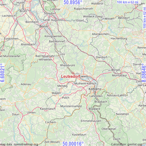
Leutesdorf GPS coordinates[2]
50° 27' 0" North, 7° 22' 59.988" East
| Map corner | latitude | longitude |
|---|---|---|
| Upper-left | 50.8956°, | 6.68021° |
| Center: | 50.45°, | 7.38333° |
| Lower-right: | 50.00016°, | 8.08646° |
| Map W x H: | 99.6×99.6 km | = 61.9×61.9mi |
| max Lat: | 55.01917° ⇑53.8% North |
| Leutesdorf: | 50.45° |
| min Lat: | ⇓46.2% South 47.40724° |
| min Long | Leutesdorf | max Long |
| 5.92978° | 7.38333° | 14.98853° |
| W 11.2%⇐ | ⇒88.8% E |
Elevation
Elevation of Leutesdorf is 58 m = 190 ft, and this is 191.1 m = 627 ft below average elevation for this country.
| Max E: |
1256 m = 4121 ft | 76.4% |
| Avg. | 249.1 m = 817 ft | |
| Leutesdorf | 58 m = 190 ft | |
Min E: |
-5 m = -16 ft | 23.6% |
See also: Germany elevation on elevation.city.
Geographical zone
Leutesdorf is located in North temperate zone (between Tropic of Cancer and the Arctic Circle). Distance of this North polar circle is 1791.7 km =1113.3 mi to North.| Distance of | km | miles | from Leutesdorf |
|---|---|---|---|
| North Pole | 4397.5 | 2732.5 | to North |
| Arctic Circle | 1791.7 | 1113.3 | to North |
| Tropic Cancer | 3003.6 | 1866.3 | to South |
| Equator | 5609.5 | 3485.6 | to South |


Nearby cities:
15 places around Leutesdorf: (largest is in red/bold)
• Andernach
2.6 km =1.6 mi,  144°
144°
• Brohl-Lützing
5.3 km =3.3 mi,  313°
313°
• Burgbrohl
7.5 km =4.7 mi,  273°
273°
• Datzeroth
7.8 km =4.8 mi,  17°
17°
• Hammerstein
4.4 km =2.7 mi,  327°
327°
• Kettig
8.1 km =5 mi,  133°
133°
• Kretz
6.2 km =3.9 mi,  193°
193°
• Melsbach
8 km =5 mi,  62°
62°
• Neuwied
6.4 km =4 mi,  106°
106°
• Nickenich
5.6 km =3.5 mi,  224°
224°
• Plaidt
6.4 km =4 mi,  174°
174°
• Rheinbrohl
6.6 km =4.1 mi, 327°
• Saffig
7.8 km =4.8 mi,  162°
162°
• Wassenach
7.3 km =4.5 mi,  255°
255°
• Weißenthurm
6 km =3.7 mi, 127°
Sources, notices
• [Note1] Compared only with cities in Germany existing in our database
• [Src1] Map data: © OpenStreetMap contributors (CC-BY-SA)
• [Src2] Other city data from geonames.org with taken over terms of usage.
• [Src3] Geographical zone / Annual Mean Temperature by Robert A. Rohde @ Wikipedia
