Lehmen geodata
Lehmen (Rheinland-Pfalz) is a seat of a fourth-order administrative division; located in Germany in Europe/Berlin (GMT+2) time zone. With population of 1,470 people, there are 5939 cities with bigger population in this country. Compared to other cities in Germany, 57.2% of cities are located further ↑North; 88% of cities are located further →East and 61.9% of cities have higher elevation than Lehmen. Note1
Administrative division(s):
- Level 1: Rheinland-Pfalz
- Level 3: Landkreis Mayen-Koblenz
- Level 4: Lehmen


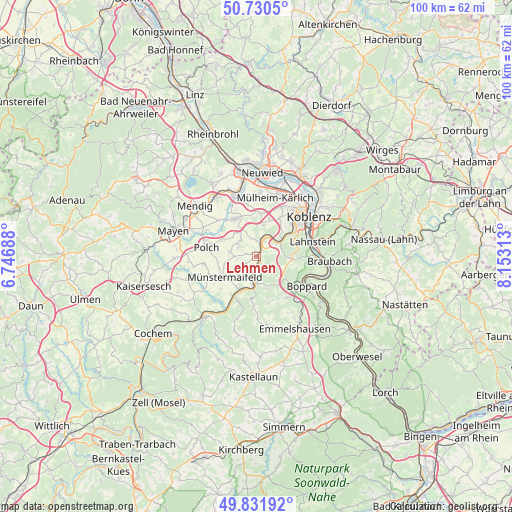
Lehmen GPS coordinates[2]
50° 16' 59.988" North, 7° 27' 0" East
| Map corner | latitude | longitude |
|---|---|---|
| Upper-left | 50.7305°, | 6.74688° |
| Center: | 50.28333°, | 7.45° |
| Lower-right: | 49.83192°, | 8.15313° |
| Map W x H: | 99.9×99.9 km | = 62.1×62.1mi |
| max Lat: | 55.01917° ⇑57.2% North |
| Lehmen: | 50.28333° |
| min Lat: | ⇓42.8% South 47.40724° |
| min Long | Lehmen | max Long |
| 5.92978° | 7.45° | 14.98853° |
| W 12%⇐ | ⇒88% E |
Elevation
Elevation of Lehmen is 139 m = 456 ft, and this is 110.1 m = 361 ft below average elevation for this country.
| Max E: |
1256 m = 4121 ft | 61.9% |
| Avg. | 249.1 m = 817 ft | |
| Lehmen | 139 m = 456 ft | |
Min E: |
-5 m = -16 ft | 38.1% |
See also: Germany elevation on elevation.city.
Geographical zone
Lehmen is located in North temperate zone (between Tropic of Cancer and the Arctic Circle). Distance of this North polar circle is 1810.2 km =1124.8 mi to North.| Distance of | km | miles | from Lehmen |
|---|---|---|---|
| North Pole | 4416.1 | 2744 | to North |
| Arctic Circle | 1810.2 | 1124.8 | to North |
| Tropic Cancer | 2985.1 | 1854.9 | to South |
| Equator | 5591 | 3474.1 | to South |


Nearby cities:
15 places around Lehmen: (largest is in red/bold)
• Alken
3.7 km =2.3 mi,  180°
180°
• Brodenbach
5.6 km =3.5 mi, 180°
• Dieblich
3.7 km =2.3 mi,  24°
24°
• Hatzenport
6 km =3.7 mi,  203°
203°
• Kalt
4.3 km =2.7 mi,  245°
245°
• Kerben
7 km =4.3 mi,  302°
302°
• Kobern-Gondorf
2.2 km =1.4 mi,  11°
11°
• Lonnig
4.4 km =2.7 mi,  312°
312°
• Löf
5.7 km =3.5 mi,  192°
192°
• Niederfell
1.2 km =0.7 mi,  90°
90°
• Oberfell
2.6 km =1.6 mi, 188°
• Rüber
6.2 km =3.9 mi,  287°
287°
• Waldesch
7.1 km =4.4 mi, 90°
• Winningen
6 km =3.7 mi,  51°
51°
• Wolken
5.7 km =3.5 mi, 12°
Sources, notices
• [Note1] Compared only with cities in Germany existing in our database
• [Src1] Map data: © OpenStreetMap contributors (CC-BY-SA)
• [Src2] Other city data from geonames.org with taken over terms of usage.
• [Src3] Geographical zone / Annual Mean Temperature by Robert A. Rohde @ Wikipedia
