Lahn geodata
Lahn (Lower Saxony) is a seat of a fourth-order administrative division; located in Germany in Europe/Berlin (GMT+2) time zone. With population of 850 people, there are 7703 cities with bigger population in this country. Compared to other cities in Germany, 80.5% of cities are located further ↓South; 84.8% of cities are located further →East and 84.1% of cities have higher elevation than Lahn. Note1


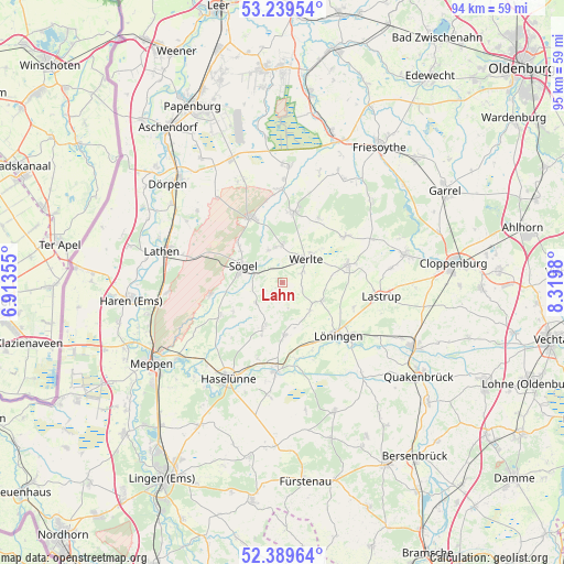
Lahn GPS coordinates[2]
52° 49' 0.012" North, 7° 37' 0.012" East
| Map corner | latitude | longitude |
|---|---|---|
| Upper-left | 53.23954°, | 6.91355° |
| Center: | 52.81667°, | 7.61667° |
| Lower-right: | 52.38964°, | 8.3198° |
| Map W x H: | 94.5×94.5 km | = 58.7×58.7mi |
| max Lat: | 55.01917° ⇑19.5% North |
| Lahn: | 52.81667° |
| min Lat: | ⇓80.5% South 47.40724° |
| min Long | Lahn | max Long |
| 5.92978° | 7.61667° | 14.98853° |
| W 15.2%⇐ | ⇒84.8% E |
Elevation
Elevation of Lahn is 37 m = 121 ft, and this is 212.1 m = 696 ft below average elevation for this country.
| Max E: |
1256 m = 4121 ft | 84.1% |
| Avg. | 249.1 m = 817 ft | |
| Lahn | 37 m = 121 ft | |
Min E: |
-5 m = -16 ft | 15.9% |
See also: Germany elevation on elevation.city.
Geographical zone
Lahn is located in North temperate zone (between Tropic of Cancer and the Arctic Circle). Distance of this North polar circle is 1528.5 km =949.8 mi to North.| Distance of | km | miles | from Lahn |
|---|---|---|---|
| North Pole | 4134.4 | 2569 | to North |
| Arctic Circle | 1528.5 | 949.8 | to North |
| Tropic Cancer | 3266.7 | 2029.8 | to South |
| Equator | 5872.7 | 3649.1 | to South |


Nearby cities:
15 places around Lahn: (largest is in red/bold)
• Breddenberg
15.3 km =9.5 mi,  358°
358°
• Börger
11.9 km =7.4 mi,  332°
332°
• Groß Berßen
9.7 km =6 mi,  238°
238°
• Herzlake
14.7 km =9.1 mi,  184°
184°
• Hüven
7.7 km =4.8 mi, 241°
• Klein Berßen
11.7 km =7.3 mi, 242°
• Lastrup
17 km =10.6 mi,  98°
98°
• Lorup
12.2 km =7.6 mi,  8°
8°
• Lähden
8.5 km =5.3 mi,  201°
201°
• Löningen
13 km =8.1 mi,  133°
133°
• Rastdorf
12.4 km =7.7 mi,  29°
29°
• Sögel
7.7 km =4.8 mi,  298°
298°
• Vrees
12.5 km =7.8 mi,  53°
53°
• Werlte
5.8 km =3.6 mi, 50°
• Werpeloh
9.5 km =5.9 mi,  310°
310°
Sources, notices
• [Note1] Compared only with cities in Germany existing in our database
• [Src1] Map data: © OpenStreetMap contributors (CC-BY-SA)
• [Src2] Other city data from geonames.org with taken over terms of usage.
• [Src3] Geographical zone / Annual Mean Temperature by Robert A. Rohde @ Wikipedia
