Löningen geodata
Löningen (Lower Saxony) is a populated place; located in Germany in Europe/Berlin (GMT+2) time zone. With population of 13,096 people, there are 1228 cities with bigger population in this country. Compared to other cities in Germany, 80% of cities are located further ↓South; 81.9% of cities are located further →East and 88.3% of cities have higher elevation than Löningen. Note1


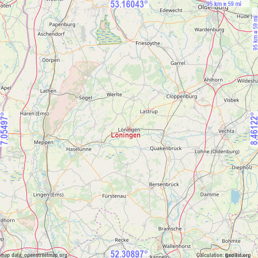
Löningen GPS coordinates[2]
52° 44' 12.408" North, 7° 45' 29.124" East
| Map corner | latitude | longitude |
|---|---|---|
| Upper-left | 53.16043°, | 7.05497° |
| Center: | 52.73678°, | 7.75809° |
| Lower-right: | 52.30897°, | 8.46122° |
| Map W x H: | 94.7×94.7 km | = 58.8×58.8mi |
| max Lat: | 55.01917° ⇑20% North |
| Löningen: | 52.73678° |
| min Lat: | ⇓80% South 47.40724° |
| min Long | Löningen | max Long |
| 5.92978° | 7.75809° | 14.98853° |
| W 18.1%⇐ | ⇒81.9% E |
Elevation
Elevation of Löningen is 26 m = 85 ft, and this is 223.1 m = 732 ft below average elevation for this country.
| Max E: |
1256 m = 4121 ft | 88.3% |
| Avg. | 249.1 m = 817 ft | |
| Löningen | 26 m = 85 ft | |
Min E: |
-5 m = -16 ft | 11.7% |
See also: Germany elevation on elevation.city.
Geographical zone
Löningen is located in North temperate zone (between Tropic of Cancer and the Arctic Circle). Distance of this North polar circle is 1537.4 km =955.3 mi to North.| Distance of | km | miles | from Löningen |
|---|---|---|---|
| North Pole | 4143.3 | 2574.5 | to North |
| Arctic Circle | 1537.4 | 955.3 | to North |
| Tropic Cancer | 3257.9 | 2024.4 | to South |
| Equator | 5863.8 | 3643.6 | to South |


Nearby cities:
15 places around Löningen: (largest is in red/bold)
• Berge
12.7 km =7.9 mi,  183°
183°
• Bippen
17.1 km =10.6 mi,  185°
185°
• Dohren
15.2 km =9.4 mi,  230°
230°
• Essen
12.2 km =7.6 mi,  97°
97°
• Herzlake
12.1 km =7.5 mi,  241°
241°
• Hüven
17 km =10.6 mi,  287°
287°
• Lahn
13 km =8.1 mi,  313°
313°
• Lastrup
9.8 km =6.1 mi,  48°
48°
• Lähden
12.7 km =7.9 mi,  274°
274°
• Menslage
7.1 km =4.4 mi,  146°
146°
• Molbergen
17.6 km =10.9 mi,  39°
39°
• Nortrup
15.2 km =9.4 mi, 152°
• Quakenbrück
14.6 km =9.1 mi,  117°
117°
• Vrees
16.3 km =10.1 mi,  2°
2°
• Werlte
13.6 km =8.5 mi,  338°
338°
Sources, notices
• [Note1] Compared only with cities in Germany existing in our database
• [Src1] Map data: © OpenStreetMap contributors (CC-BY-SA)
• [Src2] Other city data from geonames.org with taken over terms of usage.
• [Src3] Geographical zone / Annual Mean Temperature by Robert A. Rohde @ Wikipedia
