Laage geodata
Laage (Mecklenburg-Vorpommern) is a populated place; located in Germany in Europe/Berlin (GMT+2) time zone. With population of 4,692 people, there are 2942 cities with bigger population in this country. Compared to other cities in Germany, 91.7% of cities are located further ↓South; 86.3% of cities are located further ←West and 88.9% of cities have higher elevation than Laage. Note1
Administrative division(s):
- Level 1: Mecklenburg-Vorpommern
- Level 3: Landkreis Rostock
- Level 4: Laage


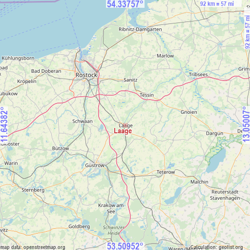
Laage GPS coordinates[2]
53° 55' 32.16" North, 12° 20' 48.984" East
| Map corner | latitude | longitude |
|---|---|---|
| Upper-left | 54.33757°, | 11.64382° |
| Center: | 53.9256°, | 12.34694° |
| Lower-right: | 53.50952°, | 13.05007° |
| Map W x H: | 92.1×92.1 km | = 57.2×57.2mi |
| max Lat: | 55.01917° ⇑8.3% North |
| Laage: | 53.9256° |
| min Lat: | ⇓91.7% South 47.40724° |
| min Long | Laage | max Long |
| 5.92978° | 12.34694° | 14.98853° |
| W 86.3%⇐ | ⇒13.7% E |
Elevation
Elevation of Laage is 24 m = 79 ft, and this is 225.1 m = 739 ft below average elevation for this country.
| Max E: |
1256 m = 4121 ft | 88.9% |
| Avg. | 249.1 m = 817 ft | |
| Laage | 24 m = 79 ft | |
Min E: |
-5 m = -16 ft | 11.1% |
See also: Germany elevation on elevation.city.
Geographical zone
Laage is located in North temperate zone (between Tropic of Cancer and the Arctic Circle). Distance of this North polar circle is 1405.2 km =873.2 mi to North.| Distance of | km | miles | from Laage |
|---|---|---|---|
| North Pole | 4011.1 | 2492.4 | to North |
| Arctic Circle | 1405.2 | 873.2 | to North |
| Tropic Cancer | 3390 | 2106.4 | to South |
| Equator | 5996 | 3725.7 | to South |


Nearby cities:
15 places around Laage: (largest is in red/bold)
• Cammin
7.3 km =4.5 mi,  6°
6°
• Diekhof
6.6 km =4.1 mi,  171°
171°
• Dolgen
6.4 km =4 mi,  299°
299°
• Dummerstorf
12.6 km =7.8 mi,  321°
321°
• Hohen Sprenz
10.1 km =6.3 mi,  260°
260°
• Kavelstorf
13.6 km =8.5 mi,  311°
311°
• Lieblingshof
11.7 km =7.3 mi,  354°
354°
• Liessow
4.3 km =2.7 mi,  187°
187°
• Plaaz
9.2 km =5.7 mi,  181°
181°
• Prisannewitz
10.7 km =6.6 mi, 308°
• Sarmstorf
13 km =8.1 mi,  224°
224°
• Selpin
12.2 km =7.6 mi,  53°
53°
• Tessin
13.7 km =8.5 mi,  34°
34°
• Wardow
4 km =2.5 mi,  82°
82°
• Wiendorf
13.1 km =8.1 mi,  280°
280°
Sources, notices
• [Note1] Compared only with cities in Germany existing in our database
• [Src1] Map data: © OpenStreetMap contributors (CC-BY-SA)
• [Src2] Other city data from geonames.org with taken over terms of usage.
• [Src3] Geographical zone / Annual Mean Temperature by Robert A. Rohde @ Wikipedia
