Kochel geodata
Kochel (Bavaria) is a populated place; located in Germany in Europe/Berlin (GMT+2) time zone. With population of 4,172 people, there are 3188 cities with bigger population in this country. Compared to other cities in Germany, 99.1% of cities are located further ↑North; 72.3% of cities are located further ←West and 95.5% of cities have lower elevation than Kochel. Note1
Administrative division(s):
- Level 1: Bavaria
- Level 2: Upper Bavaria
- Level 3: Landkreis Bad Tölz-Wolfratshausen
- Level 4: Kochel am See


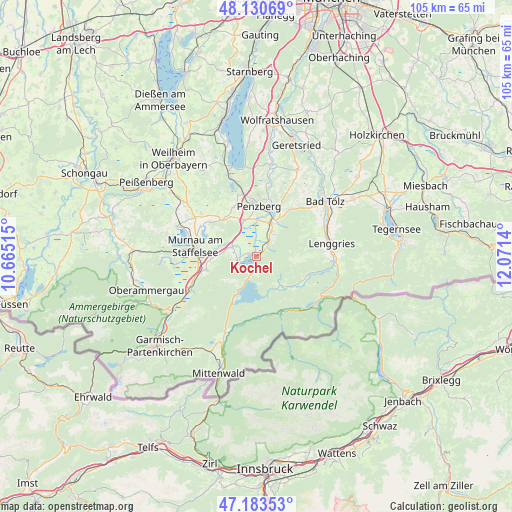
Kochel GPS coordinates[2]
47° 39' 33.336" North, 11° 22' 5.772" East
| Map corner | latitude | longitude |
|---|---|---|
| Upper-left | 48.13069°, | 10.66515° |
| Center: | 47.65926°, | 11.36827° |
| Lower-right: | 47.18353°, | 12.0714° |
| Map W x H: | 105.3×105.3 km | = 65.4×65.4mi |
| max Lat: | 55.01917° ⇑99.1% North |
| Kochel: | 47.65926° |
| min Lat: | ⇓0.9% South 47.40724° |
| min Long | Kochel | max Long |
| 5.92978° | 11.36827° | 14.98853° |
| W 72.3%⇐ | ⇒27.7% E |
Elevation
Elevation of Kochel is 611 m = 2005 ft, and this is 361.9 m = 1187 ft above average elevation for this country.
| Max E: |
1256 m = 4121 ft | 4.5% |
| Kochel | 611 m 2005 ft | |
| Avg. | 249.1 m = 817 ft | |
Min E: |
-5 m = -16 ft | 95.5% |
See also: Germany elevation on elevation.city.
Geographical zone
Kochel is located in North temperate zone (between Tropic of Cancer and the Arctic Circle). Distance of this North polar circle is 2102 km =1306.1 mi to North.| Distance of | km | miles | from Kochel |
|---|---|---|---|
| North Pole | 4707.8 | 2925.3 | to North |
| Arctic Circle | 2102 | 1306.1 | to North |
| Tropic Cancer | 2693.3 | 1673.5 | to South |
| Equator | 5299.2 | 3292.8 | to South |


Nearby cities:
15 places around Kochel: (largest is in red/bold)
• Antdorf
11.2 km =7 mi,  336°
336°
• Bad Heilbrunn
11.9 km =7.4 mi,  35°
35°
• Benediktbeuern
6.3 km =3.9 mi,  33°
33°
• Bichl
7.5 km =4.7 mi, 25°
• Großweil
5.4 km =3.4 mi,  290°
290°
• Habach
10.4 km =6.5 mi,  322°
322°
• Iffeldorf
12.6 km =7.8 mi, 342°
• Jachenau
7.7 km =4.8 mi,  140°
140°
• Murnau am Staffelsee
12.7 km =7.9 mi,  280°
280°
• Obersöchering
14 km =8.7 mi,  305°
305°
• Ohlstadt
10.5 km =6.5 mi,  254°
254°
• Penzberg
10.4 km =6.5 mi,  3°
3°
• Riegsee
11 km =6.8 mi, 293°
• Schlehdorf
4 km =2.5 mi,  267°
267°
• Sindelsdorf
7.7 km =4.8 mi, 340°
Sources, notices
• [Note1] Compared only with cities in Germany existing in our database
• [Src1] Map data: © OpenStreetMap contributors (CC-BY-SA)
• [Src2] Other city data from geonames.org with taken over terms of usage.
• [Src3] Geographical zone / Annual Mean Temperature by Robert A. Rohde @ Wikipedia
