Kleve geodata
Kleve (Schleswig-Holstein) is a seat of a fourth-order administrative division; located in Germany in Europe/Berlin (GMT+2) time zone. In our database, there are 11009 cities with bigger population. Compared to other cities in Germany, 96.2% of cities are located further ↓South; 63.6% of cities are located further →East and 94.3% of cities have higher elevation than Kleve. Note1


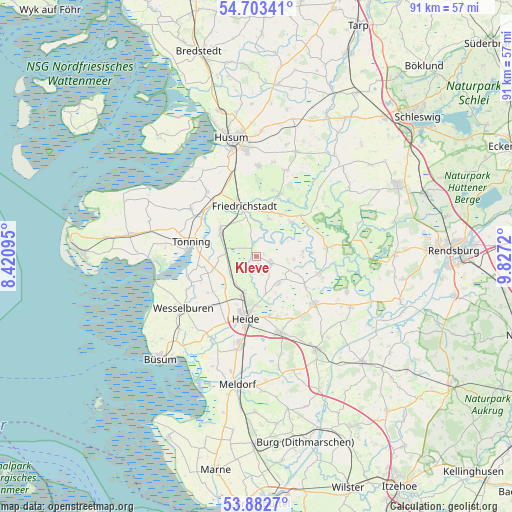
Kleve GPS coordinates[2]
54° 17' 42.36" North, 9° 7' 26.688" East
| Map corner | latitude | longitude |
|---|---|---|
| Upper-left | 54.70341°, | 8.42095° |
| Center: | 54.2951°, | 9.12408° |
| Lower-right: | 53.8827°, | 9.8272° |
| Map W x H: | 91.3×91.3 km | = 56.7×56.7mi |
| max Lat: | 55.01917° ⇑3.8% North |
| Kleve: | 54.2951° |
| min Lat: | ⇓96.2% South 47.40724° |
| min Long | Kleve | max Long |
| 5.92978° | 9.12408° | 14.98853° |
| W 36.4%⇐ | ⇒63.6% E |
Elevation
Elevation of Kleve is 10 m = 33 ft, and this is 239.1 m = 784 ft below average elevation for this country.
| Max E: |
1256 m = 4121 ft | 94.3% |
| Avg. | 249.1 m = 817 ft | |
| Kleve | 10 m = 33 ft | |
Min E: |
-5 m = -16 ft | 5.7% |
See also: Germany elevation on elevation.city.
Geographical zone
Kleve is located in North temperate zone (between Tropic of Cancer and the Arctic Circle). Distance of this North polar circle is 1364.1 km =847.6 mi to North.| Distance of | km | miles | from Kleve |
|---|---|---|---|
| North Pole | 3970 | 2466.8 | to North |
| Arctic Circle | 1364.1 | 847.6 | to North |
| Tropic Cancer | 3431.1 | 2132 | to South |
| Equator | 6037 | 3751.2 | to South |


Nearby cities:
15 places around Kleve: (largest is in red/bold)
• Bergewöhrden
6.5 km =4 mi,  68°
68°
• Drage
7.1 km =4.4 mi,  17°
17°
• Fedderingen
1.4 km =0.9 mi,  155°
155°
• Glüsing
6.2 km =3.9 mi,  102°
102°
• Hennstedt
3.1 km =1.9 mi,  115°
115°
• Hollingstedt
6.6 km =4.1 mi,  94°
94°
• Krempel
6.4 km =4 mi,  292°
292°
• Linden
6.3 km =3.9 mi,  142°
142°
• Norderheistedt
5.3 km =3.3 mi, 161°
• Sankt Annen
6.4 km =4 mi,  332°
332°
• Schlichting
2.8 km =1.7 mi,  307°
307°
• Stelle-Wittenwurth
5.8 km =3.6 mi,  236°
236°
• Süderheistedt
6.8 km =4.2 mi,  167°
167°
• Weddingstedt
7.1 km =4.4 mi,  197°
197°
• Wiemerstedt
3.2 km =2 mi,  188°
188°
Sources, notices
• [Note1] Compared only with cities in Germany existing in our database
• [Src1] Map data: © OpenStreetMap contributors (CC-BY-SA)
• [Src2] Other city data from geonames.org with taken over terms of usage.
• [Src3] Geographical zone / Annual Mean Temperature by Robert A. Rohde @ Wikipedia
