Karstädt geodata
Karstädt (Brandenburg) is a seat of a fourth-order administrative division; located in Germany in Europe/Berlin (GMT+2) time zone. With population of 7,189 people, there are 2145 cities with bigger population in this country. Compared to other cities in Germany, 82.6% of cities are located further ↓South; 77.8% of cities are located further ←West and 86.3% of cities have higher elevation than Karstädt. Note1


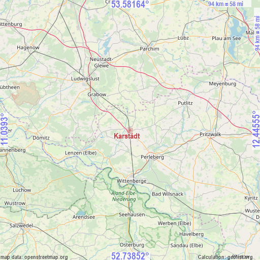
Karstädt GPS coordinates[2]
53° 9' 43.74" North, 11° 44' 32.712" East
| Map corner | latitude | longitude |
|---|---|---|
| Upper-left | 53.58164°, | 11.0393° |
| Center: | 53.16215°, | 11.74242° |
| Lower-right: | 52.73852°, | 12.44555° |
| Map W x H: | 93.7×93.7 km | = 58.2×58.2mi |
| max Lat: | 55.01917° ⇑17.4% North |
| Karstädt: | 53.16215° |
| min Lat: | ⇓82.6% South 47.40724° |
| min Long | Karstädt | max Long |
| 5.92978° | 11.74242° | 14.98853° |
| W 77.8%⇐ | ⇒22.2% E |
Elevation
Elevation of Karstädt is 32 m = 105 ft, and this is 217.1 m = 712 ft below average elevation for this country.
| Max E: |
1256 m = 4121 ft | 86.3% |
| Avg. | 249.1 m = 817 ft | |
| Karstädt | 32 m = 105 ft | |
Min E: |
-5 m = -16 ft | 13.7% |
See also: Germany elevation on elevation.city.
Geographical zone
Karstädt is located in North temperate zone (between Tropic of Cancer and the Arctic Circle). Distance of this North polar circle is 1490.1 km =925.9 mi to North.| Distance of | km | miles | from Karstädt |
|---|---|---|---|
| North Pole | 4096 | 2545.1 | to North |
| Arctic Circle | 1490.1 | 925.9 | to North |
| Tropic Cancer | 3305.2 | 2053.8 | to South |
| Equator | 5911.1 | 3673 | to South |


Nearby cities:
15 places around Karstädt: (largest is in red/bold)
• Berge
11.5 km =7.1 mi,  46°
46°
• Breese
18.4 km =11.4 mi,  167°
167°
• Cumlosen
15.2 km =9.4 mi,  199°
199°
• Grabow
17.6 km =10.9 mi,  317°
317°
• Groß Pankow
21 km =13 mi,  103°
103°
• Lanz
13.7 km =8.5 mi,  224°
224°
• Lenzen
19.5 km =12.1 mi,  246°
246°
• Löcknitz
14.1 km =8.8 mi,  10°
10°
• Perleberg
12.3 km =7.6 mi,  141°
141°
• Pirow
12.1 km =7.5 mi,  59°
59°
• Prislich
14.6 km =9.1 mi,  326°
326°
• Schnackenburg
18.3 km =11.4 mi, 220°
• Weisen
15.5 km =9.6 mi, 168°
• Wittenberge
17.4 km =10.8 mi,  178°
178°
• Ziegendorf
15.6 km =9.7 mi,  17°
17°
Sources, notices
• [Note1] Compared only with cities in Germany existing in our database
• [Src1] Map data: © OpenStreetMap contributors (CC-BY-SA)
• [Src2] Other city data from geonames.org with taken over terms of usage.
• [Src3] Geographical zone / Annual Mean Temperature by Robert A. Rohde @ Wikipedia
