Kargow geodata
Kargow (Mecklenburg-Vorpommern) is a populated place; located in Germany in Europe/Berlin (GMT+2) time zone. With population of 744 people, there are 8131 cities with bigger population in this country. Compared to other cities in Germany, 85.7% of cities are located further ↓South; 90.6% of cities are located further ←West and 71.3% of cities have higher elevation than Kargow. Note1
Administrative division(s):
- Level 1: Mecklenburg-Vorpommern
- Level 3: Mecklenburgische Seenplatte
- Level 4: Kargow


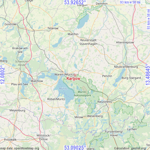
Kargow GPS coordinates[2]
53° 30' 37.62" North, 12° 46' 59.952" East
| Map corner | latitude | longitude |
|---|---|---|
| Upper-left | 53.92652°, | 12.0802° |
| Center: | 53.51045°, | 12.78332° |
| Lower-right: | 53.09025°, | 13.48645° |
| Map W x H: | 93×93 km | = 57.8×57.8mi |
| max Lat: | 55.01917° ⇑14.3% North |
| Kargow: | 53.51045° |
| min Lat: | ⇓85.7% South 47.40724° |
| min Long | Kargow | max Long |
| 5.92978° | 12.78332° | 14.98853° |
| W 90.6%⇐ | ⇒9.4% E |
Elevation
Elevation of Kargow is 82 m = 269 ft, and this is 167.1 m = 548 ft below average elevation for this country.
| Max E: |
1256 m = 4121 ft | 71.3% |
| Avg. | 249.1 m = 817 ft | |
| Kargow | 82 m = 269 ft | |
Min E: |
-5 m = -16 ft | 28.7% |
See also: Germany elevation on elevation.city.
Geographical zone
Kargow is located in North temperate zone (between Tropic of Cancer and the Arctic Circle). Distance of this North polar circle is 1451.4 km =901.9 mi to North.| Distance of | km | miles | from Kargow |
|---|---|---|---|
| North Pole | 4057.3 | 2521.1 | to North |
| Arctic Circle | 1451.4 | 901.9 | to North |
| Tropic Cancer | 3343.9 | 2077.8 | to South |
| Equator | 5949.8 | 3697 | to South |


Nearby cities:
15 places around Kargow: (largest is in red/bold)
• Ankershagen
12.6 km =7.8 mi,  105°
105°
• Faulenrost
14.1 km =8.8 mi,  0°
0°
• Grabowhöfe
14 km =8.7 mi,  297°
297°
• Groß Gievitz
7.8 km =4.8 mi,  359°
359°
• Groß Plasten
6 km =3.7 mi,  48°
48°
• Göhren-Lebbin
18.3 km =11.4 mi,  259°
259°
• Jabel
16.1 km =10 mi,  280°
280°
• Jürgenstorf
18.6 km =11.6 mi,  25°
25°
• Klein Vielen
17.4 km =10.8 mi, 111°
• Klink
11.3 km =7 mi,  251°
251°
• Kratzeburg
13.8 km =8.6 mi,  130°
130°
• Möllenhagen
9.7 km =6 mi,  81°
81°
• Sietow
16.6 km =10.3 mi,  244°
244°
• Vielist
10.7 km =6.6 mi, 296°
• Waren
6.9 km =4.3 mi, 279°
Sources, notices
• [Note1] Compared only with cities in Germany existing in our database
• [Src1] Map data: © OpenStreetMap contributors (CC-BY-SA)
• [Src2] Other city data from geonames.org with taken over terms of usage.
• [Src3] Geographical zone / Annual Mean Temperature by Robert A. Rohde @ Wikipedia
