Isseroda geodata
Isseroda (Thuringia) is a seat of a fourth-order administrative division; located in Germany in Europe/Berlin (GMT+2) time zone. With population of 508 people, there are 9338 cities with bigger population in this country. Compared to other cities in Germany, 57.3% of cities are located further ↓South; 70.3% of cities are located further ←West and 70% of cities have lower elevation than Isseroda. Note1


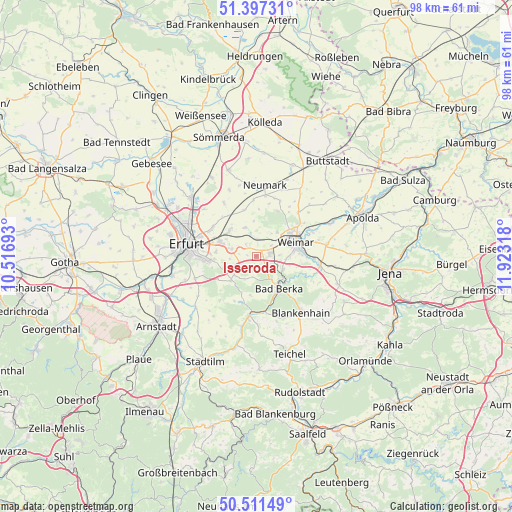
Isseroda GPS coordinates[2]
50° 57' 23.436" North, 11° 13' 12.18" East
| Map corner | latitude | longitude |
|---|---|---|
| Upper-left | 51.39731°, | 10.51693° |
| Center: | 50.95651°, | 11.22005° |
| Lower-right: | 50.51149°, | 11.92318° |
| Map W x H: | 98.5×98.5 km | = 61.2×61.2mi |
| max Lat: | 55.01917° ⇑42.7% North |
| Isseroda: | 50.95651° |
| min Lat: | ⇓57.3% South 47.40724° |
| min Long | Isseroda | max Long |
| 5.92978° | 11.22005° | 14.98853° |
| W 70.3%⇐ | ⇒29.7% E |
Elevation
Elevation of Isseroda is 358 m = 1175 ft, and this is 108.9 m = 357 ft above average elevation for this country.
| Max E: |
1256 m = 4121 ft | 30% |
| Isseroda | 358 m 1175 ft | |
| Avg. | 249.1 m = 817 ft | |
Min E: |
-5 m = -16 ft | 70% |
See also: Germany elevation on elevation.city.
Geographical zone
Isseroda is located in North temperate zone (between Tropic of Cancer and the Arctic Circle). Distance of this North polar circle is 1735.3 km =1078.3 mi to North.| Distance of | km | miles | from Isseroda |
|---|---|---|---|
| North Pole | 4341.2 | 2697.5 | to North |
| Arctic Circle | 1735.3 | 1078.3 | to North |
| Tropic Cancer | 3059.9 | 1901.3 | to South |
| Equator | 5665.8 | 3520.6 | to South |


Nearby cities:
15 places around Isseroda: (largest is in red/bold)
• Bad Berka
7.7 km =4.8 mi,  145°
145°
• Bechstedtstraß
1.6 km =1 mi,  242°
242°
• Buchfart
8.8 km =5.5 mi,  116°
116°
• Hetschburg
7.4 km =4.6 mi,  130°
130°
• Hopfgarten
3.3 km =2.1 mi,  3°
3°
• Klettbach
6.6 km =4.1 mi,  227°
227°
• Mönchenholzhausen
5 km =3.1 mi,  282°
282°
• Nauendorf
7.4 km =4.6 mi,  201°
201°
• Niederzimmern
5.8 km =3.6 mi,  338°
338°
• Nohra
2.8 km =1.7 mi,  79°
79°
• Ollendorf
8.9 km =5.5 mi, 343°
• Tonndorf
7.6 km =4.7 mi,  188°
188°
• Troistedt
3.3 km =2.1 mi,  140°
140°
• Vollersroda
8.1 km =5 mi,  106°
106°
• Weimar
8.1 km =5 mi,  70°
70°
Sources, notices
• [Note1] Compared only with cities in Germany existing in our database
• [Src1] Map data: © OpenStreetMap contributors (CC-BY-SA)
• [Src2] Other city data from geonames.org with taken over terms of usage.
• [Src3] Geographical zone / Annual Mean Temperature by Robert A. Rohde @ Wikipedia
