Hirschfeld geodata
Hirschfeld (Saxony) is a seat of a fourth-order administrative division; located in Germany in Europe/Berlin (GMT+2) time zone. With population of 1,287 people, there are 6341 cities with bigger population in this country. Compared to other cities in Germany, 50.1% of cities are located further ↓South; 87.6% of cities are located further ←West and 75.6% of cities have lower elevation than Hirschfeld. Note1


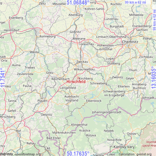
Hirschfeld GPS coordinates[2]
50° 37' 28.308" North, 12° 27' 25.992" East
| Map corner | latitude | longitude |
|---|---|---|
| Upper-left | 51.06848°, | 11.7541° |
| Center: | 50.62453°, | 12.45722° |
| Lower-right: | 50.17635°, | 13.16035° |
| Map W x H: | 99.2×99.2 km | = 61.6×61.6mi |
| max Lat: | 55.01917° ⇑49.9% North |
| Hirschfeld: | 50.62453° |
| min Lat: | ⇓50.1% South 47.40724° |
| min Long | Hirschfeld | max Long |
| 5.92978° | 12.45722° | 14.98853° |
| W 87.6%⇐ | ⇒12.4% E |
Elevation
Elevation of Hirschfeld is 402 m = 1319 ft, and this is 152.9 m = 502 ft above average elevation for this country.
| Max E: |
1256 m = 4121 ft | 24.4% |
| Hirschfeld | 402 m 1319 ft | |
| Avg. | 249.1 m = 817 ft | |
Min E: |
-5 m = -16 ft | 75.6% |
See also: Germany elevation on elevation.city.
Geographical zone
Hirschfeld is located in North temperate zone (between Tropic of Cancer and the Arctic Circle). Distance of this North polar circle is 1772.3 km =1101.3 mi to North.| Distance of | km | miles | from Hirschfeld |
|---|---|---|---|
| North Pole | 4378.1 | 2720.4 | to North |
| Arctic Circle | 1772.3 | 1101.3 | to North |
| Tropic Cancer | 3023 | 1878.4 | to South |
| Equator | 5628.9 | 3497.6 | to South |


Nearby cities:
15 places around Hirschfeld: (largest is in red/bold)
• Fraureuth
11.3 km =7 mi,  317°
317°
• Kirchberg
4.8 km =3 mi,  93°
93°
• Lengenfeld
9 km =5.6 mi,  227°
227°
• Leubnitz
13.1 km =8.1 mi,  327°
327°
• Lichtentanne
7.9 km =4.9 mi,  343°
343°
• Neumark
8.1 km =5 mi,  299°
299°
• Reichenbach/Vogtland
10.8 km =6.7 mi,  268°
268°
• Reinsdorf
10.7 km =6.6 mi,  40°
40°
• Rodewisch
10.9 km =6.8 mi,  196°
196°
• Stützengrün
11.5 km =7.1 mi,  152°
152°
• Waldkirchen
6.3 km =3.9 mi,  240°
240°
• Weißenborn
12.8 km =8 mi,  4°
4°
• Wildenfels
11.7 km =7.3 mi,  65°
65°
• Wilkau-Haßlau
6.9 km =4.3 mi, 35°
• Zwickau
11.6 km =7.2 mi,  10°
10°
Sources, notices
• [Note1] Compared only with cities in Germany existing in our database
• [Src1] Map data: © OpenStreetMap contributors (CC-BY-SA)
• [Src2] Other city data from geonames.org with taken over terms of usage.
• [Src3] Geographical zone / Annual Mean Temperature by Robert A. Rohde @ Wikipedia
