Ensdorf geodata
Ensdorf (Saarland) is a seat of a fourth-order administrative division; located in Germany in Europe/Berlin (GMT+2) time zone. With population of 6,631 people, there are 2273 cities with bigger population in this country. Compared to other cities in Germany, 78.7% of cities are located further ↑North; 95.8% of cities are located further →East and 53.8% of cities have higher elevation than Ensdorf. Note1


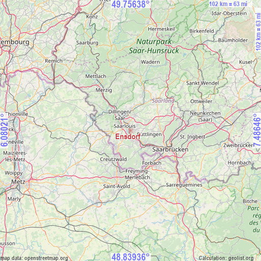
Ensdorf GPS coordinates[2]
49° 18' 0" North, 6° 46' 59.988" East
| Map corner | latitude | longitude |
|---|---|---|
| Upper-left | 49.75638°, | 6.08021° |
| Center: | 49.3°, | 6.78333° |
| Lower-right: | 48.83936°, | 7.48646° |
| Map W x H: | 102×102 km | = 63.4×63.4mi |
| max Lat: | 55.01917° ⇑78.7% North |
| Ensdorf: | 49.3° |
| min Lat: | ⇓21.3% South 47.40724° |
| min Long | Ensdorf | max Long |
| 5.92978° | 6.78333° | 14.98853° |
| W 4.2%⇐ | ⇒95.8% E |
Elevation
Elevation of Ensdorf is 198 m = 650 ft, and this is 51.1 m = 168 ft below average elevation for this country.
| Max E: |
1256 m = 4121 ft | 53.8% |
| Avg. | 249.1 m = 817 ft | |
| Ensdorf | 198 m = 650 ft | |
Min E: |
-5 m = -16 ft | 46.2% |
See also: Germany elevation on elevation.city.
Geographical zone
Ensdorf is located in North temperate zone (between Tropic of Cancer and the Arctic Circle). Distance of this North polar circle is 1919.5 km =1192.7 mi to North.| Distance of | km | miles | from Ensdorf |
|---|---|---|---|
| North Pole | 4525.4 | 2812 | to North |
| Arctic Circle | 1919.5 | 1192.7 | to North |
| Tropic Cancer | 2875.7 | 1786.9 | to South |
| Equator | 5481.6 | 3406.1 | to South |


Nearby cities:
15 places around Ensdorf: (largest is in red/bold)
• Altforweiler
6.3 km =3.9 mi,  242°
242°
• Berus
7.5 km =4.7 mi, 237°
• Bisten
7.5 km =4.7 mi,  227°
227°
• Bous
2.8 km =1.7 mi,  152°
152°
• Dillingen
7.4 km =4.6 mi,  326°
326°
• Hostenbach
4.6 km =2.9 mi, 150°
• Püttlingen
7.7 km =4.8 mi,  102°
102°
• Röchling-Höhe
4.9 km =3 mi,  130°
130°
• Saarlouis
2.8 km =1.7 mi,  303°
303°
• Saarwellingen
6.2 km =3.9 mi,  14°
14°
• Schaffhausen
5.2 km =3.2 mi,  158°
158°
• Schwalbach
2.4 km =1.5 mi,  90°
90°
• Völklingen
7.7 km =4.8 mi, 134°
• Wadgassen
3.7 km =2.3 mi,  180°
180°
• Wallerfangen
6.1 km =3.8 mi, 300°
Sources, notices
• [Note1] Compared only with cities in Germany existing in our database
• [Src1] Map data: © OpenStreetMap contributors (CC-BY-SA)
• [Src2] Other city data from geonames.org with taken over terms of usage.
• [Src3] Geographical zone / Annual Mean Temperature by Robert A. Rohde @ Wikipedia
