Berstadt geodata
Berstadt (Hesse) is a populated place; located in Germany in Europe/Berlin (GMT+2) time zone. With population of 1,740 people, there are 5441 cities with bigger population in this country. Compared to other cities in Germany, 54.2% of cities are located further ↑North; 67.1% of cities are located further →East and 61.1% of cities have higher elevation than Berstadt. Note1
Administrative division(s):
- Level 1: Hesse
- Level 2: Regierungsbezirk Darmstadt
- Level 3: Wetteraukreis
- Level 4: Wölfersheim


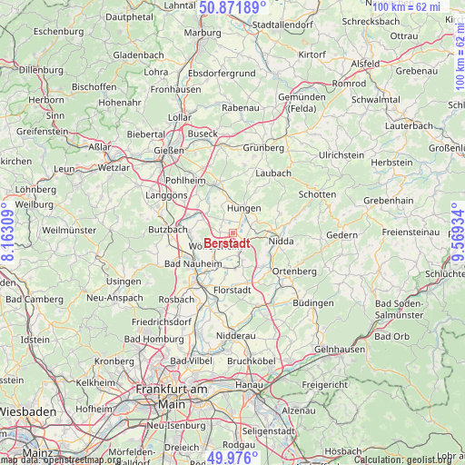
Berstadt GPS coordinates[2]
50° 25' 33.816" North, 8° 51' 58.356" East
| Map corner | latitude | longitude |
|---|---|---|
| Upper-left | 50.87189°, | 8.16309° |
| Center: | 50.42606°, | 8.86621° |
| Lower-right: | 49.976°, | 9.56934° |
| Map W x H: | 99.6×99.6 km | = 61.9×61.9mi |
| max Lat: | 55.01917° ⇑54.2% North |
| Berstadt: | 50.42606° |
| min Lat: | ⇓45.8% South 47.40724° |
| min Long | Berstadt | max Long |
| 5.92978° | 8.86621° | 14.98853° |
| W 32.9%⇐ | ⇒67.1% E |
Elevation
Elevation of Berstadt is 145 m = 476 ft, and this is 104.1 m = 342 ft below average elevation for this country.
| Max E: |
1256 m = 4121 ft | 61.1% |
| Avg. | 249.1 m = 817 ft | |
| Berstadt | 145 m = 476 ft | |
Min E: |
-5 m = -16 ft | 38.9% |
See also: Germany elevation on elevation.city.
Geographical zone
Berstadt is located in North temperate zone (between Tropic of Cancer and the Arctic Circle). Distance of this North polar circle is 1794.3 km =1114.9 mi to North.| Distance of | km | miles | from Berstadt |
|---|---|---|---|
| North Pole | 4400.2 | 2734.2 | to North |
| Arctic Circle | 1794.3 | 1114.9 | to North |
| Tropic Cancer | 3000.9 | 1864.7 | to South |
| Equator | 5606.9 | 3484 | to South |


Nearby cities:
15 places around Berstadt: (largest is in red/bold)
• Bad Nauheim
11.3 km =7 mi,  232°
232°
• Echzell
4.4 km =2.7 mi,  161°
161°
• Florstadt
12.2 km =7.6 mi,  179°
179°
• Hungen
5.6 km =3.5 mi,  19°
19°
• Lich
11.1 km =6.9 mi,  341°
341°
• Melbach
6.6 km =4.1 mi,  217°
217°
• Münzenberg
7.2 km =4.5 mi,  295°
295°
• Nidda
10 km =6.2 mi,  98°
98°
• Ranstadt
11.3 km =7 mi,  132°
132°
• Reichelsheim
7.8 km =4.8 mi, 175°
• Rockenberg
9.2 km =5.7 mi,  273°
273°
• Steinheim
4.5 km =2.8 mi,  64°
64°
• Södel
5.6 km =3.5 mi, 230°
• Wohnbach
2.6 km =1.6 mi,  276°
276°
• Wölfersheim
4.6 km =2.9 mi, 230°
Sources, notices
• [Note1] Compared only with cities in Germany existing in our database
• [Src1] Map data: © OpenStreetMap contributors (CC-BY-SA)
• [Src2] Other city data from geonames.org with taken over terms of usage.
• [Src3] Geographical zone / Annual Mean Temperature by Robert A. Rohde @ Wikipedia
