Scheden geodata
Scheden (Lower Saxony) is a seat of a fourth-order administrative division; located in Germany in Europe/Berlin (GMT+2) time zone. With population of 2,132 people, there are 4887 cities with bigger population in this country. Compared to other cities in Germany, 65.5% of cities are located further ↓South; 53.9% of cities are located further →East and 51.4% of cities have lower elevation than Scheden. Note1


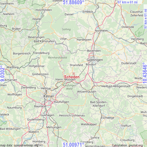
Scheden GPS coordinates[2]
51° 27' 0" North, 9° 43' 59.988" East
| Map corner | latitude | longitude |
|---|---|---|
| Upper-left | 51.88609°, | 9.0302° |
| Center: | 51.45°, | 9.73333° |
| Lower-right: | 51.00971°, | 10.43646° |
| Map W x H: | 97.4×97.4 km | = 60.5×60.5mi |
| max Lat: | 55.01917° ⇑34.5% North |
| Scheden: | 51.45° |
| min Lat: | ⇓65.5% South 47.40724° |
| min Long | Scheden | max Long |
| 5.92978° | 9.73333° | 14.98853° |
| W 46.1%⇐ | ⇒53.9% E |
Elevation
Elevation of Scheden is 236 m = 774 ft, and this is 13.1 m = 43 ft below average elevation for this country.
| Max E: |
1256 m = 4121 ft | 48.6% |
| Avg. | 249.1 m = 817 ft | |
| Scheden | 236 m = 774 ft | |
Min E: |
-5 m = -16 ft | 51.4% |
See also: Germany elevation on elevation.city.
Geographical zone
Scheden is located in North temperate zone (between Tropic of Cancer and the Arctic Circle). Distance of this North polar circle is 1680.5 km =1044.2 mi to North.| Distance of | km | miles | from Scheden |
|---|---|---|---|
| North Pole | 4286.4 | 2663.4 | to North |
| Arctic Circle | 1680.5 | 1044.2 | to North |
| Tropic Cancer | 3114.8 | 1935.4 | to South |
| Equator | 5720.7 | 3554.7 | to South |


Nearby cities:
15 places around Scheden: (largest is in red/bold)
• Adelebsen
14.8 km =9.2 mi,  5°
5°
• Bühren
5.1 km =3.2 mi,  316°
316°
• Dransfeld
5.8 km =3.6 mi,  19°
19°
• Friedland
13.2 km =8.2 mi,  105°
105°
• Fuldatal
13.7 km =8.5 mi,  237°
237°
• Gemeinde Friedland
14.4 km =8.9 mi,  104°
104°
• Göttingen
16.7 km =10.4 mi,  55°
55°
• Hannoversch Münden
6.9 km =4.3 mi, 235°
• Hohengandern
17.1 km =10.6 mi,  119°
119°
• Immenhausen
17.7 km =11 mi,  261°
261°
• Jühnde
5 km =3.1 mi,  68°
68°
• Kirchgandern
17.4 km =10.8 mi, 114°
• Nieste
15.5 km =9.6 mi,  197°
197°
• Rosdorf
12.8 km =8 mi, 64°
• Witzenhausen
14.8 km =9.2 mi,  145°
145°
Sources, notices
• [Note1] Compared only with cities in Germany existing in our database
• [Src1] Map data: © OpenStreetMap contributors (CC-BY-SA)
• [Src2] Other city data from geonames.org with taken over terms of usage.
• [Src3] Geographical zone / Annual Mean Temperature by Robert A. Rohde @ Wikipedia
